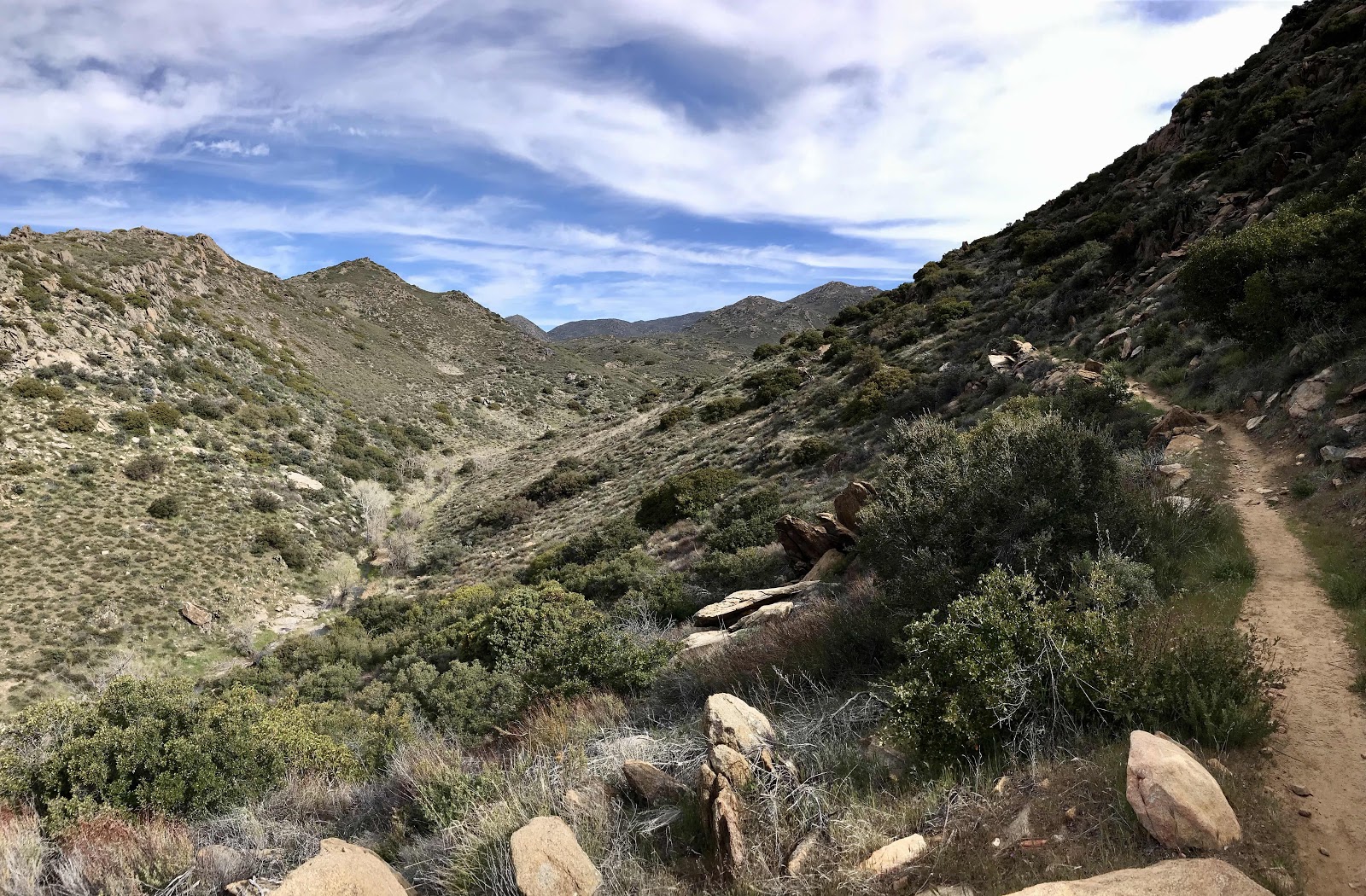
Day 4: (04/02) 39.5-48.7 :: 9.2 miles

This morning we made it the last few miles from camp to the top of the ridge and into the area referred to as Mt Laguna, a mix of state park and forest service lands that parallel the sunrise highway. Our packs were light, as we were low on food and had access to water all day at the various closed picnic grounds and campgrounds along the way, so we didn’t have to carry much at a time. We took a peek into the Burnt Rancheria campground, which was the first place we passed, but quickly retreated as we felt like intruding criminals. A little further on we found a picnic area with benches hidden from the road and got to enjoy sitting on one and eating our final foods in peace. It is nice that we have the trail practically to ourselves, but it’s unfortunate that all of these public areas are closed and we have to feel like we shouldn’t be in them. On this section many people hike 1/4 mile off trail into the little village of Mt Laguna and get resupply or at the least least some refreshment...