Posts

Showing posts from May, 2020

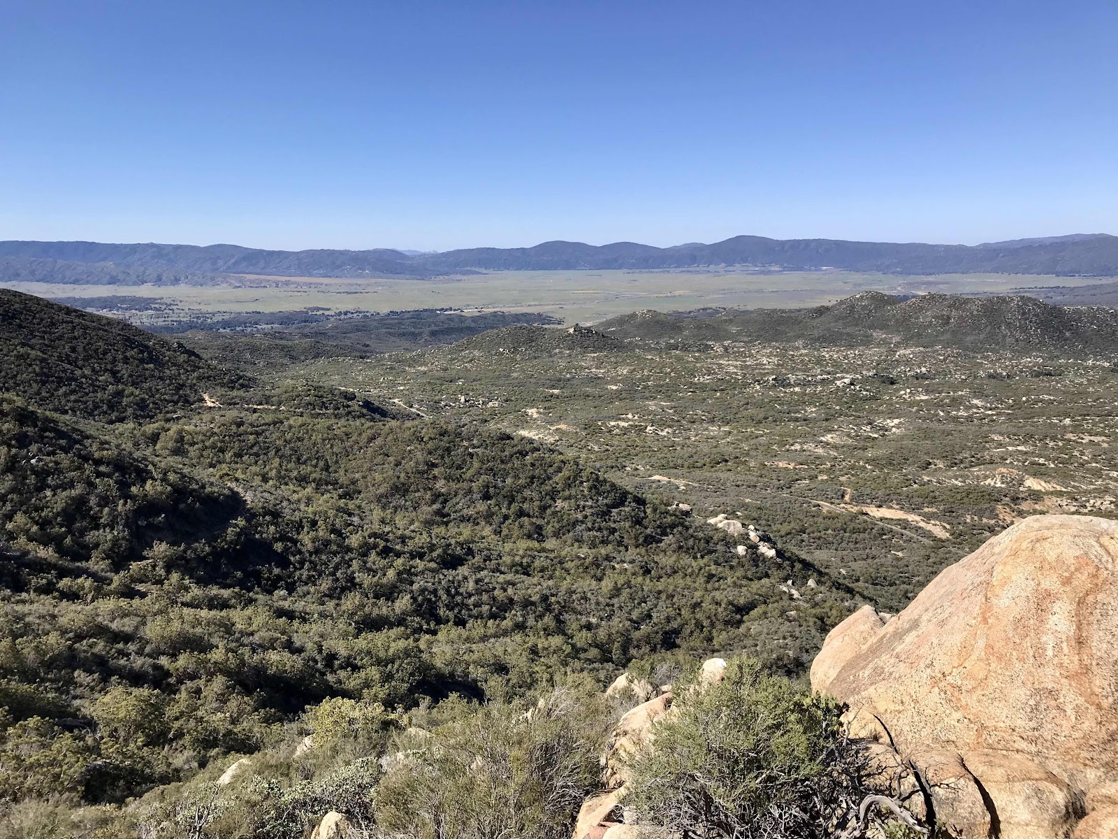
Day 13: (04/17) : to 157.4 :: 13.4 miles

Image
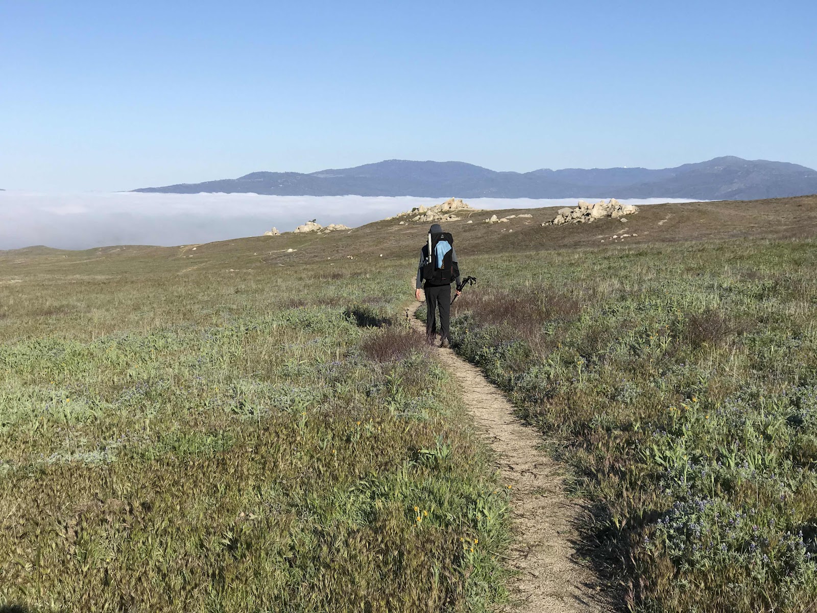
We are in yet another dry section of trail. We camped a few miles from a water cache and had just a short distance to cover before reaching it in the morning. We caught up with the other hiker there and got to talk to him a little and found him to he an interesting guy. Just a few days ago we’d been talking about the Appalachian Trail and wondering if people ever do it southbound because that sounded neat, and this has!! Neat! Maybe that will be our next summer. He goes by the trail name Wilson Wilson and we talked to him far too long, extending our breakfast break to over an hour.  The water cache was amazing, maintained by a Trail Angel named Mary. People who help PCT hikers are called Trail Angels. She has a 500 gallon water tank which she fills by hand with 1 gallon jugs that she fills somewhere offsite. She also had a free little library filled with photo copies of short books bound in twine for hikers to take for reading material, a picnic bench, an outhouse and a solar shower.

Day 12: (04/16) : to 144 :: 12.4 miles

Image
Today was hot and we admired different patches of shade as we went along, discussing their potential for providing a refreshing rest break. We walked mostly through brush and cactus gardens with little shade. We were fortunate to reach a spring water source for lunch time. Leading up to it, we admired the lush green of cottonwood trees in a valley below us and longed for their shade and were delighted that the side trail to the spring led us right to the shade. It wasn’t quite the oasis we had hoped for, but it was good enough. The water came out of a pipe and into our kitchen sink and was then filtered. We refilled our kitchen sink for a refreshing “sponge” bath.  We hiked above the civilized valley of the community of Anza. Noticing many large green houses in the area, which we learned are marijuana greenhouses. We could also see scattered houses throughout the area. If we had a place right on the PCT through one of these dry desert areas, we’d start some kind of lucrative hiker busi

Day 11: (04/15) : to 131.6 :: 12 miles

Image
Our hiking took us out of San Diego County today, around the 150 mile mark. We will no longer be seeing familiar scenery and mountain silhouettes that we recognize.  We got our first views of the big snowy mountains to the north, San Jacinto and further to the north, the San Bernardinos, all fresh with lots of new snow. The highlight of today was taking a side trip up Combs Peak, a trail I’ve been wanting to do for some time. The PCT goes right past the peak, so it was a great opportunity. We will pass near many peaks, but will rarely take the side trails to them! Sadly there just isn’t enough time for such luxuries, we’d never finish in a season. It would be neat to hike smaller sections and add in a lot of side trails.  View of the meadows around Lake Henshaw and the Palomar Mountain Ridge. Lost Valley  Rocky ridge diving Lost Valley and the next Valley over  Manzanita flowers View of a rural valley near Combs Peak Our first unobstructed view of Mt San Jacinto and the snowy terrain t

Day 10: (04/14) : to 119.6 :: 14.6 miles

Image
This morning we continued our walk through the meadow with neat views of a fog bank in the valley below us, around Lake Henshaw. We passed the famous eagle rock formation and marveled at how eagle like it is! We stopped next to the formation Fe our breakfast and to gaze upon the magnificent views of the meadows, mountains and clouds. Shortly after breakfast we were run off the trail by a heard of 30 or so cows! They were beautiful black and white spotted cows, but they were big and it was scary to be so close. They were just as scared of us as we were of them and they were running all over the place, above and below the trail to try to get around us! I don’t think I’ve ever been closer to cows and should not like to have another encounter like this. We just stood still and waited for them to go around. I would really have liked to pet one, but didn’t know if they would accept that! We crossed the highway near Warner Springs, crossed it without stopping and continued on through the mass