Day 3: (04/01) 27.7-39.5 :: 11.8 miles
We wake with the sun each day, but took our time getting out of camp this morning. We usually like to walk a couple miles before eating anything, but we took advantage of the many sitting areas on smooth rocks at our campsites to eat our breakfast. Once we began hiking, we continued up. We were at the beginning of our first real climb to the pine forest of the Laguna Escarpment at around 6,000 feet. So far we’ve only been going up and down little rises around 3,000 feet of elevation. We had to slow our pace even further, taking many leisurely breaks along the way. We followed Kitchen Creek for the first few hours stopping to filter water and thoroughly enjoy a cooling soak at the edge of in one of its pools. We saw a few different groups of day hikers in this area going to a popular waterfall called Kitchen Creek Falls. All of the side trails are supposed to be closed, but the PCT remains open. It’s nice to see some people are still getting out. We missed the side trail to the falls.
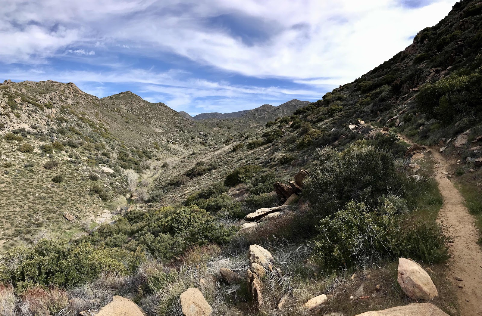


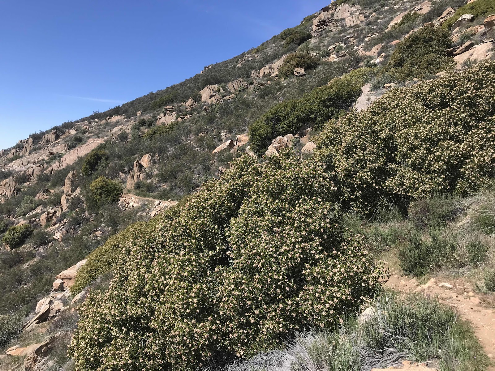


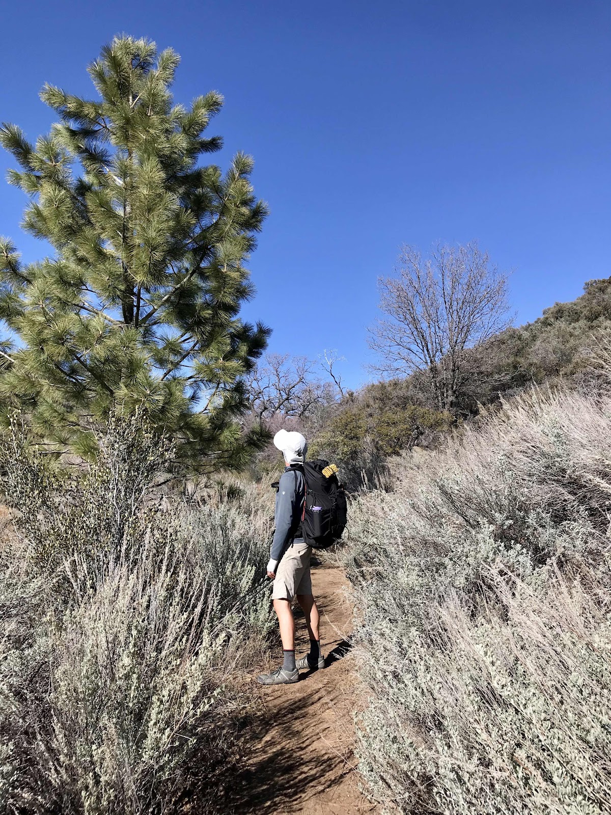
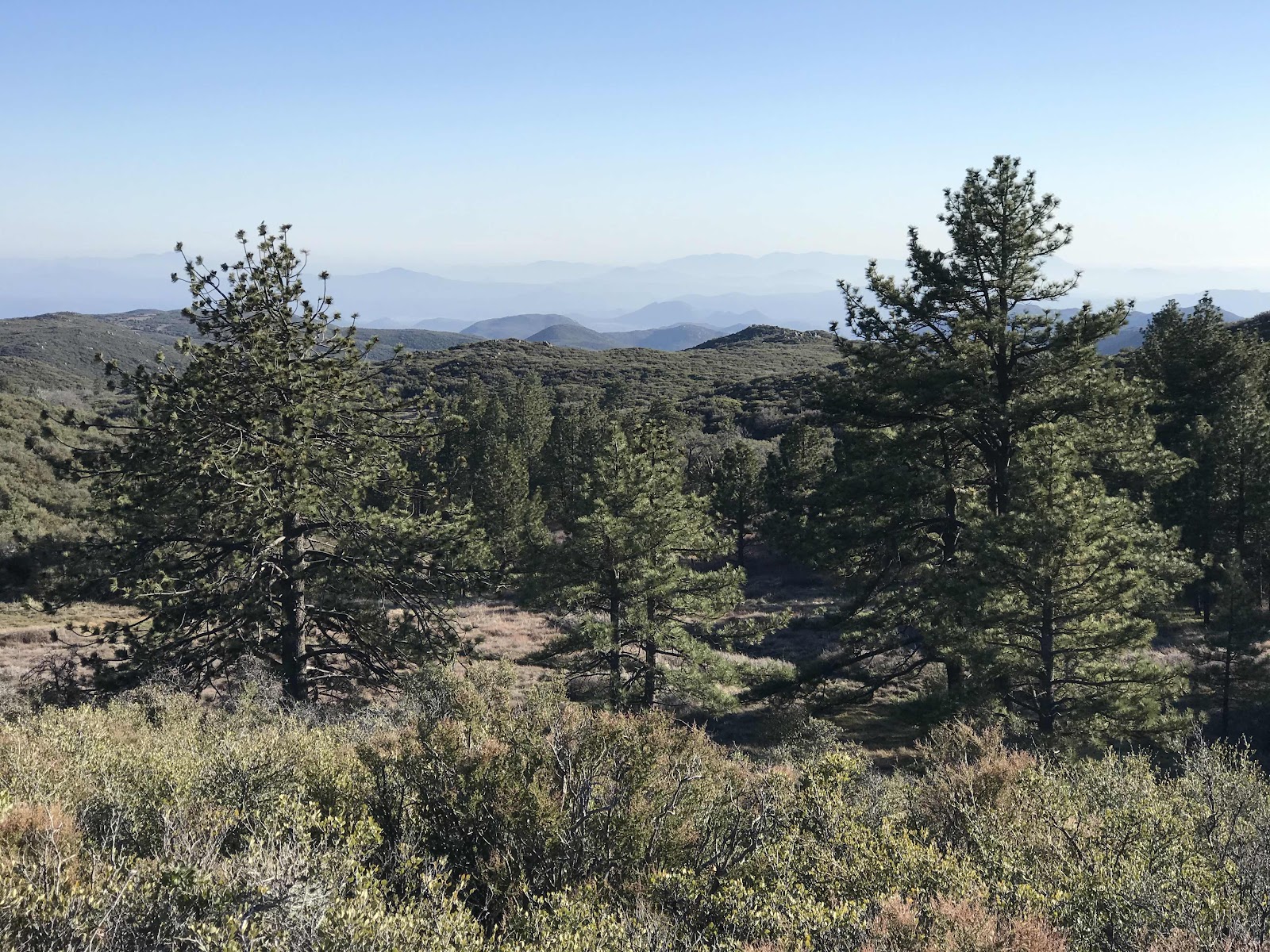

By the afternoon it was hot and the climb got tiring. We began stopping at every campsite, about every hour or so and hiding in the shade. We passed a dirt road leading to a remote forest service campsite (called Cibbets Flat) that we never knew about and put it in our list of places to return to one day. Late in the day we began to see the first pine trees, a sign that we were reaching the higher elevations. We call these areas islands in the sky, small isolated zones on mountain tops with unique flora and fauna that don’t exist in the surrounding lower elevations. It’s easy to think that all of the Southern California section is a desert, especially when everyone refers to it as the desert section, but it isn’t called the Pacific Crest a Trail for nothing! The trail follows the high elevation ridges and is often not in the desert. We get to pass through so many ecosystems that it never gets boring.
After a few further miles we ended our day at just 11.8 miles and camped on a bed of pine needles off of the trail amongst tall old pine trees. We saw no PCT hikers today, just the few days hikers near the creek.


I changed the browser I was in to Google Chrome, and now it looks like I might really be able to leave comments! I don't know if any of my earlier comments actually got loaded. Anyway, from what you have written it sounds like this might be the point when you actually feel like you are getting high enough up into the pines, and far enough from "civilization" for it to feel "real"? Your pictures seem to show a fairly easy-to-follow, well-worn trail. Is that true most of the way? Or do you have to do some searching to keep going the right direction at times?
ReplyDelete