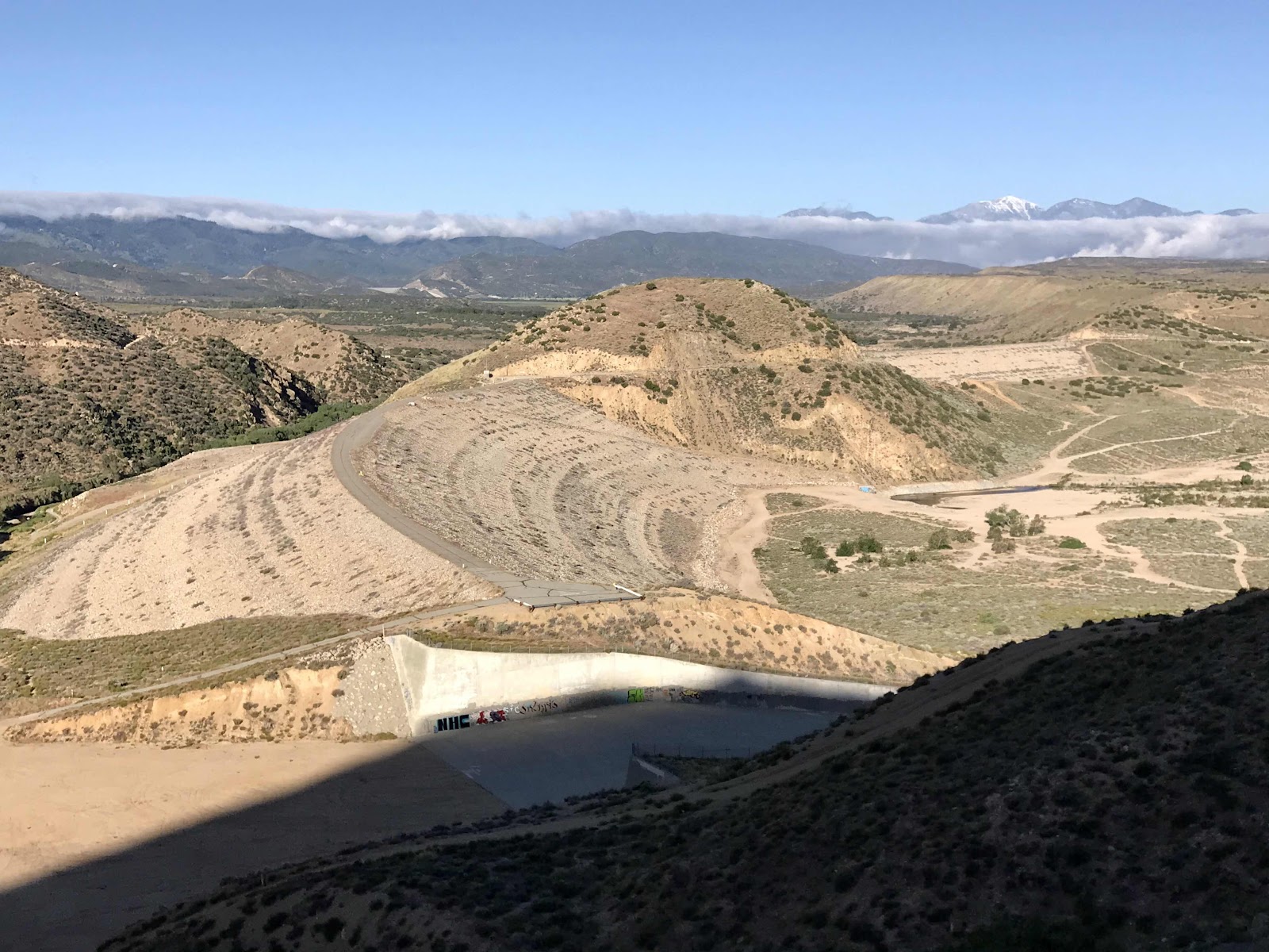
The day starts off clear and looks promising, but the clouds increase as the day goes on and stubbornly hang around the area in which we are hiking. The view to the East is clear most of the day, but there is a wall of clouds blocking the view to the west. Again we wish we’d stayed in town one more night so that we would have an additional day to let the clouds clear before climbing Mt Baden Powell. But we didn’t stay an extra night, and we have nothing better to do than walk, so we keep moving forward.
We climb 38 switchbacks up the face of the mountain. Near the top, there is still snow, making it impossible to find the last 10 or so switch backs, so we go straight up. My backpack is heavy with food bank oranges and going straight up would be tiring even without a backpack! At the top it is chilly and breezy. We don’t get the dazzling views we had hoped for, just a further look into the cloud bank!
All afternoon we walk along the ridge leading away from the summit. Clouds on one side, clear on the other. Occasional gusts of wind blow wisps of clouds across the top. It is eerily beautiful, but we can’t help but wonder what we’re missing because of the cloud.
Near the end of the day we haven’t made it very far thanks to the snow and the climbing. My left leg starts hurting, I think it’s my IT band, but I’m not sure. I’ve never had this pain, but I’m limping and there’s no way we’re making it to where we wanted to camp at a place called Little Jimmy Spring. We settle for a spot up on the ridge. As we’re setting up our tent, a hail storm starts, and we get inside just before enough falls to coat the ground white. After dark we get out of the tent one last time to pee and see the sky is now totally clear and the stars are out. The hail was the last hurrah of the storm. We are camped next to a couple that is hiking with a dog. They were camped near us last night and passed us late in the day while I was limping.
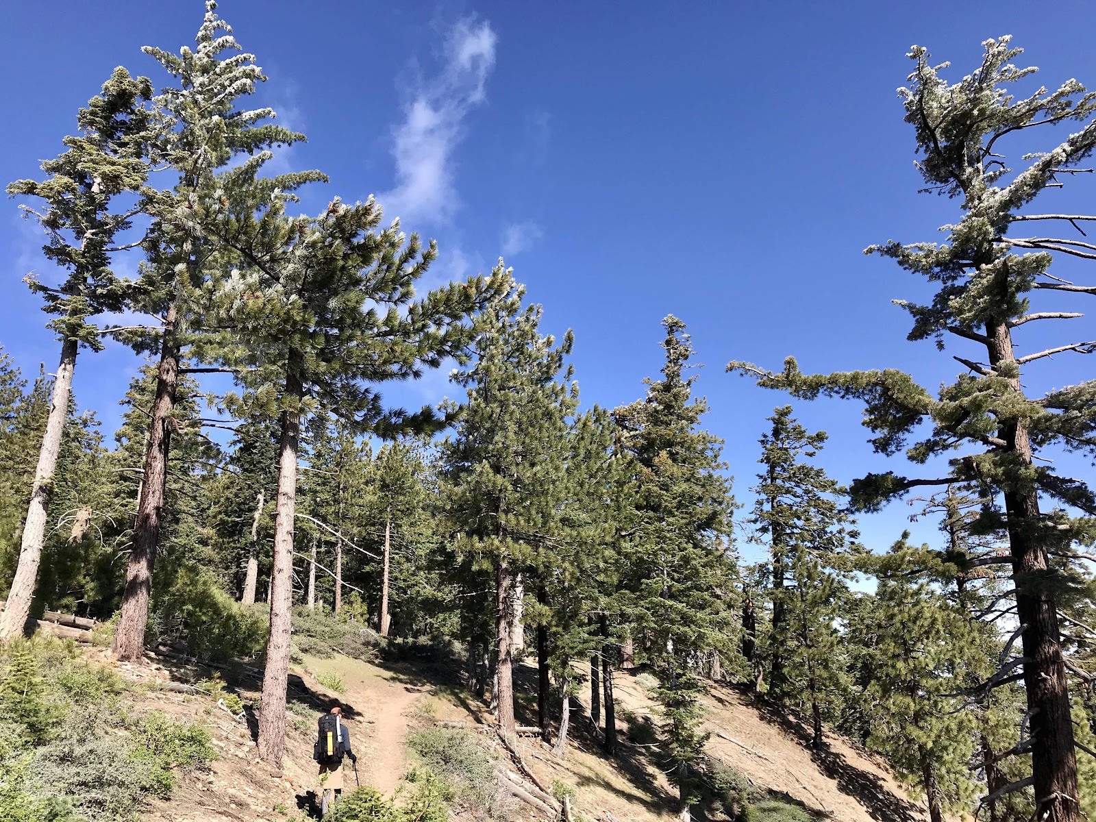 |
| Frost coated trees in the morning |
 |
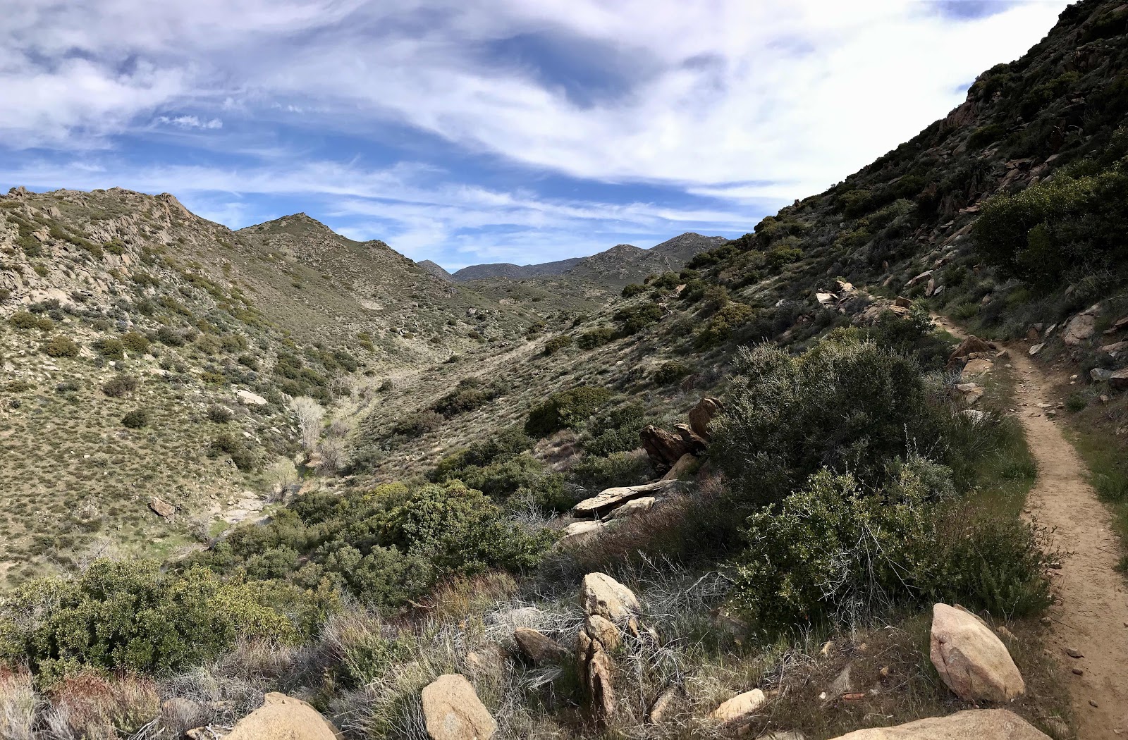
| Looking down the ridge at the route that highway 2 follows |
 |
| More frosty trees |
 |
| Crossing the closed highway 2 at Vincent Gap, Mt Baden-Powell trailhead |
 |
| Some fun log furniture at the trailhead |
 |
| Like every where else we've been during COVID, the place is trashed. It can only be hiker trash since the highway is closed. |
 |
| More views of highway 2 |
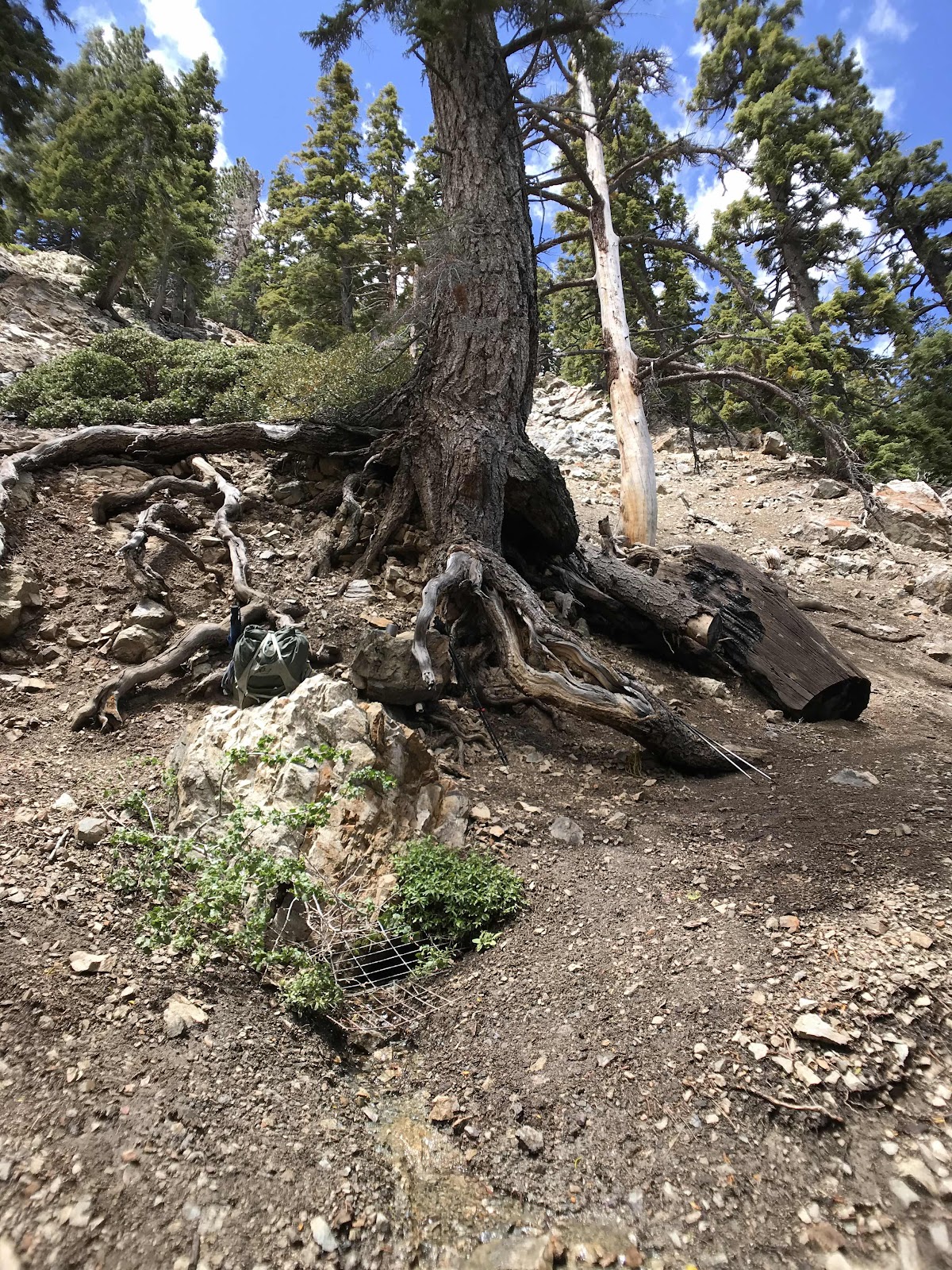 |
| A spring flowing out of Mt Baden Powell |
 |
| There was mint growing at the spring. I wondered if its native and if not, how it got there. We ate lots of it. |
 |
| Side trail leading to the spring |
 |
| My turmeric latte mix |
 |
| A luxury meal fit for royalty! Sugarbee apples, manna bread, dried persimmons, mini bell peppers, Clif bars. and hot turmeric lattes. |
 |
| Beautiful trees and fog at the upper elevations. |
 |
| Snowy slopes near the summit. |
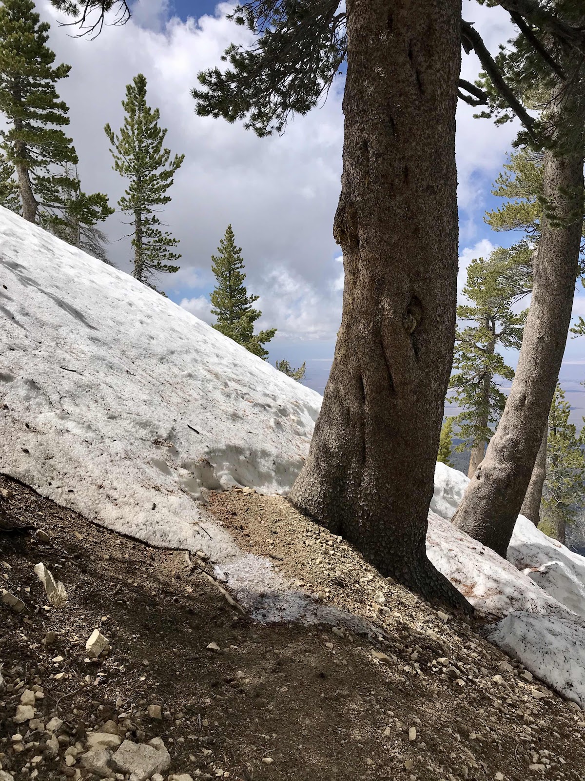 |
| A steep grade for going straight up on snow. |
 |
| The final approach to the top. Ancient limber pine forest. |
 |
| Looking East from the top. |
 |
| Monument at the top for Baden Powell, who founded of the world boy scouting movement. |
 |
| No view to the West. Elevation 9,407 feet. Highest point on the PCT South of the Sierra Nevada. |

Comments
Post a Comment