Day 1 (3/30): mile 0.0-15.4
After a week of being cooped up in the house and watching the doom and gloom of the corona virus news (and doubting our decision to go through with hiking), we set out for the Southern Terminus of the Pacific Crest Trail. It was a Monday and our driver was my mom, so we left early to allow her to get back to work on time. We are only an hour away from the trailhead where we live in El Cajon. It was a lovely scenic drive with the rising sun on country roads that we have driven many times on the way to various other local hikes. We saw tons of border patrol trucks and even saw 3 young men being detained on the side of the road. That made a somewhat sad start to our day, as we couldn’t help but feel bad for them.
There are normally 50 permitted through hikers starting at the border every day, and that doesn’t include the people doing shorter sections, such as just a week, or just San Diego County or just Southern California. I imagine the trailhead is normally a busy place, but the percentage of hikers still hiking has dropped significantly to just a handful a day and on some days to just one or none starting. Due to the fact that the numbers are so low, the ones that are still hiking seem to be doing whatever they want, with many of them not starting on their official start day. So it shouldn’t have been busy. We saw one guy walking away as we pulled up and we never saw him again. We think based on how many people we saw throughout the day that only a total of 4 parties started, us, two solo hikers and one group of three on a 5 day section hike. We had the unfortunate timing of arriving just before the group of 3, so our trailhead photos and goodbyes were rushed and as a result our photos aren’t very good. We parked the car right in front of the monument and also drove the car right up to the border fence. It was definitely not as glamorous as we had imagined. Just a small clearing next to the dirt road that parallels the border.
As we were getting out of the car to take our photos, the other car showed up, but they parked further away and walked up. We found out later that they thought we were some volunteer enforcement team trying to deter hikers from starting!! I can’t fully relax when I know other hikers are right on our tails, so we set out quickly. We are slow hikers that stop too much to look at the scenery and take extended breaks and usually get passed.
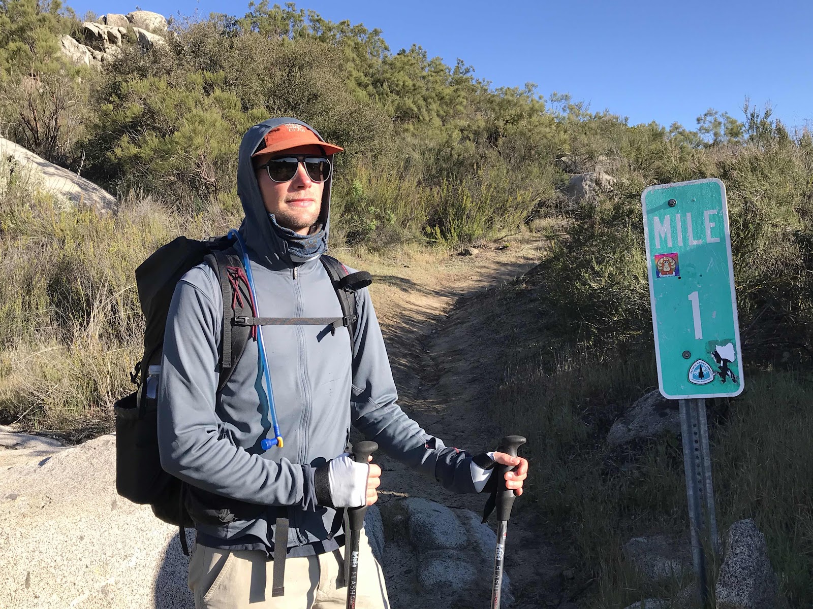
A mile in, we took a photo with the one mile sign. It still didn’t feel real. Maybe it feels more real to people that have to get on a plane and make plans and travel arrangements and buy a bunch of food and fill resupply boxes before hand, but we didn’t have to do any of that, it was as if we were out for a day hike! We are so lucky to live nearby and to be able to go home for rest breaks and to get more food from family. For this leg we decided to bring along food that doesn’t need to be cooked. We have packed fresh fruit and veggies, which we think are definitely worth the weight! We also have lots of healthy whole grain baked goods that I have been squirreling away in the freezer over the winter such as bars and banana bread.
We stopped early on to eat our breakfast and let the group of 3 pass us and later in the afternoon stopped to let one solo through hiker go past. Including the guy we saw walking away from the border that makes the total of 4 parties starting that day, including us. We also saw our first rattlesnake of the trip within the first few miles today!
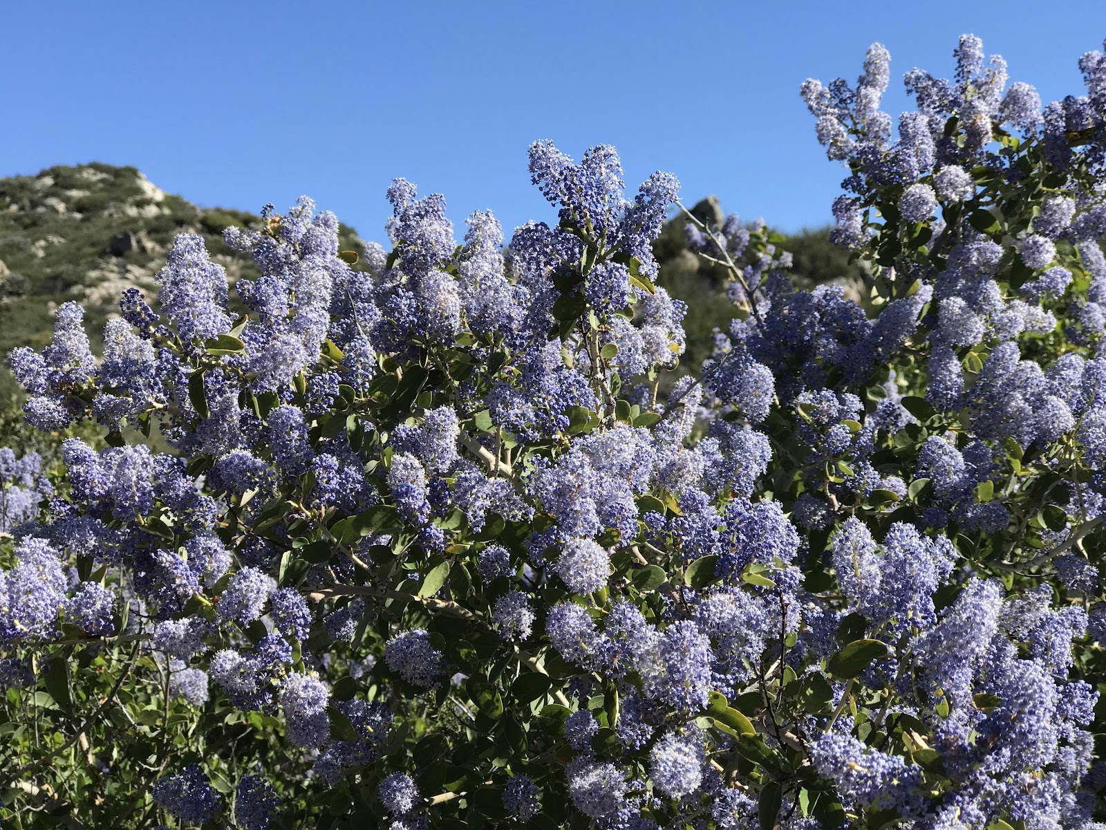
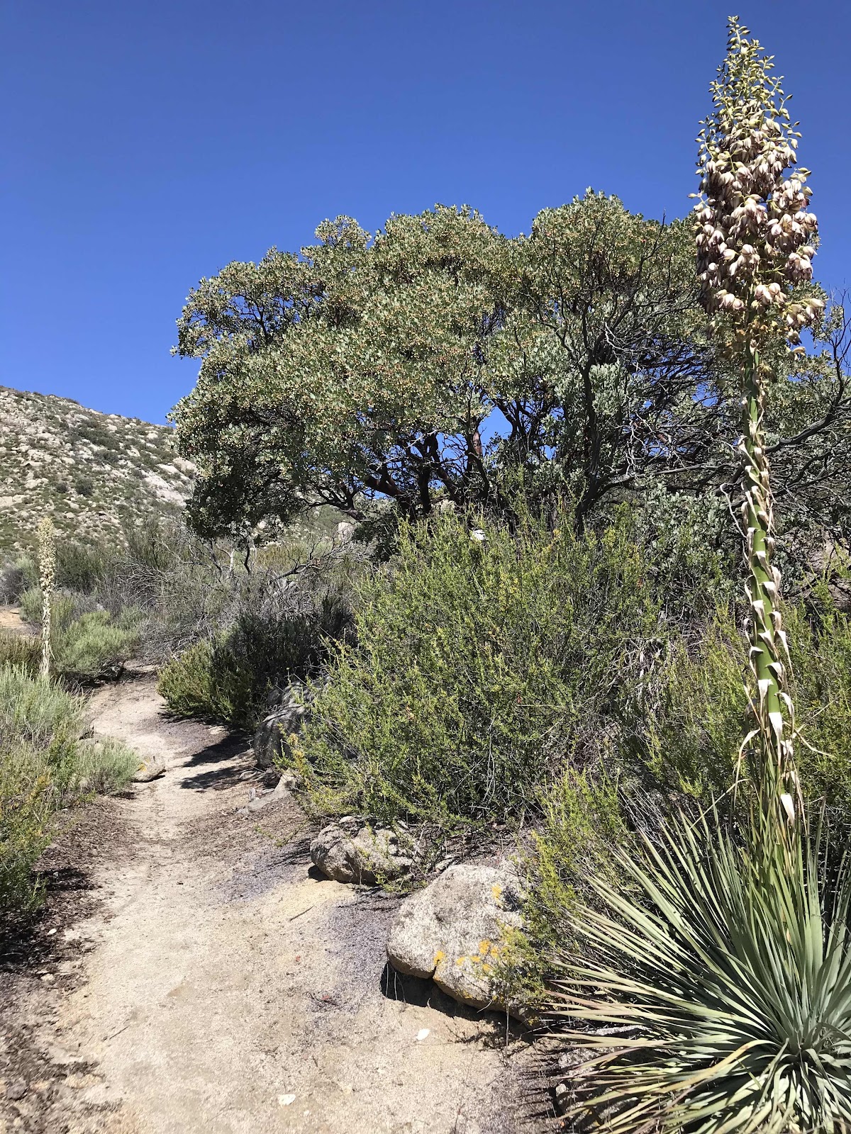
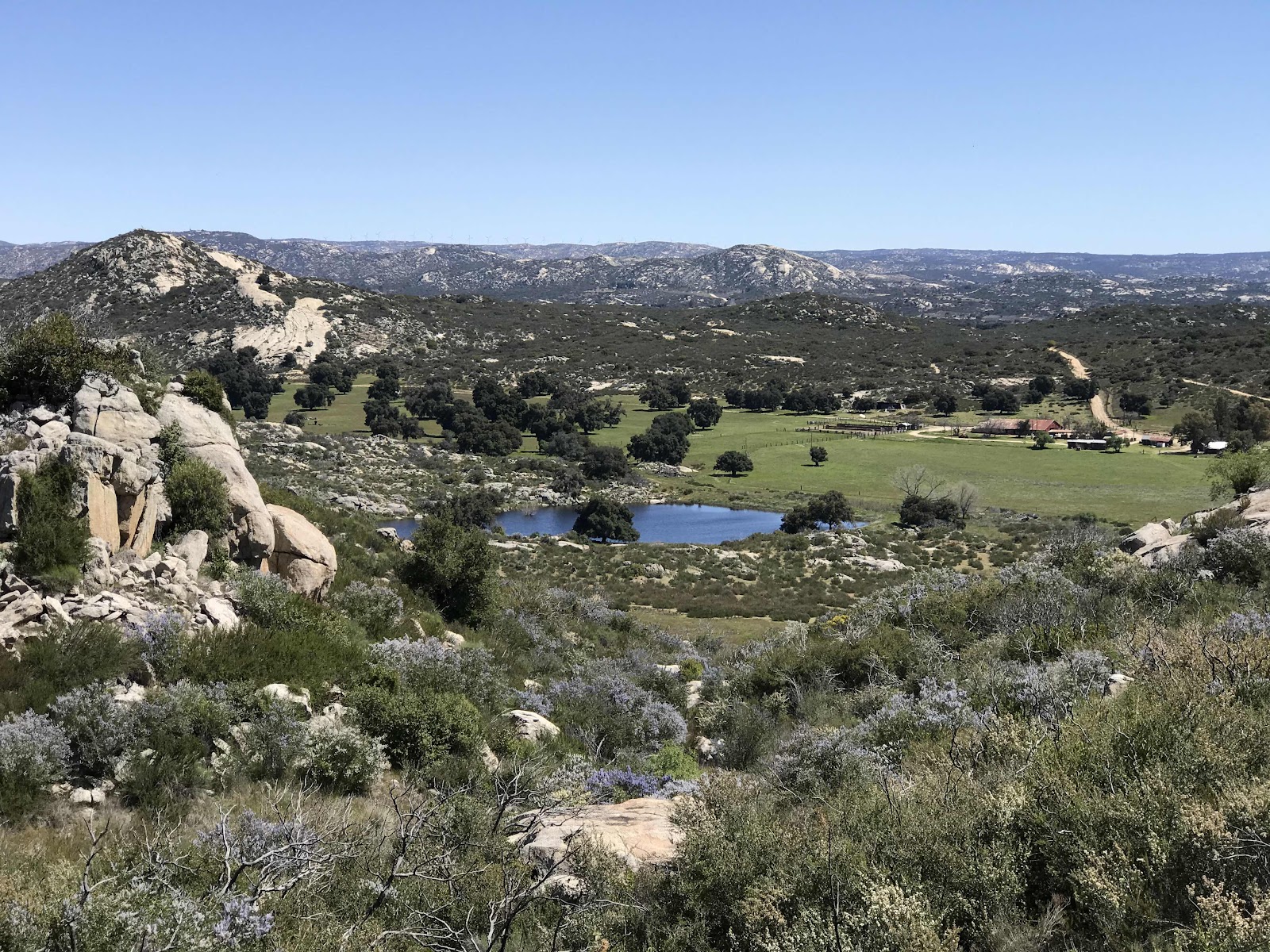
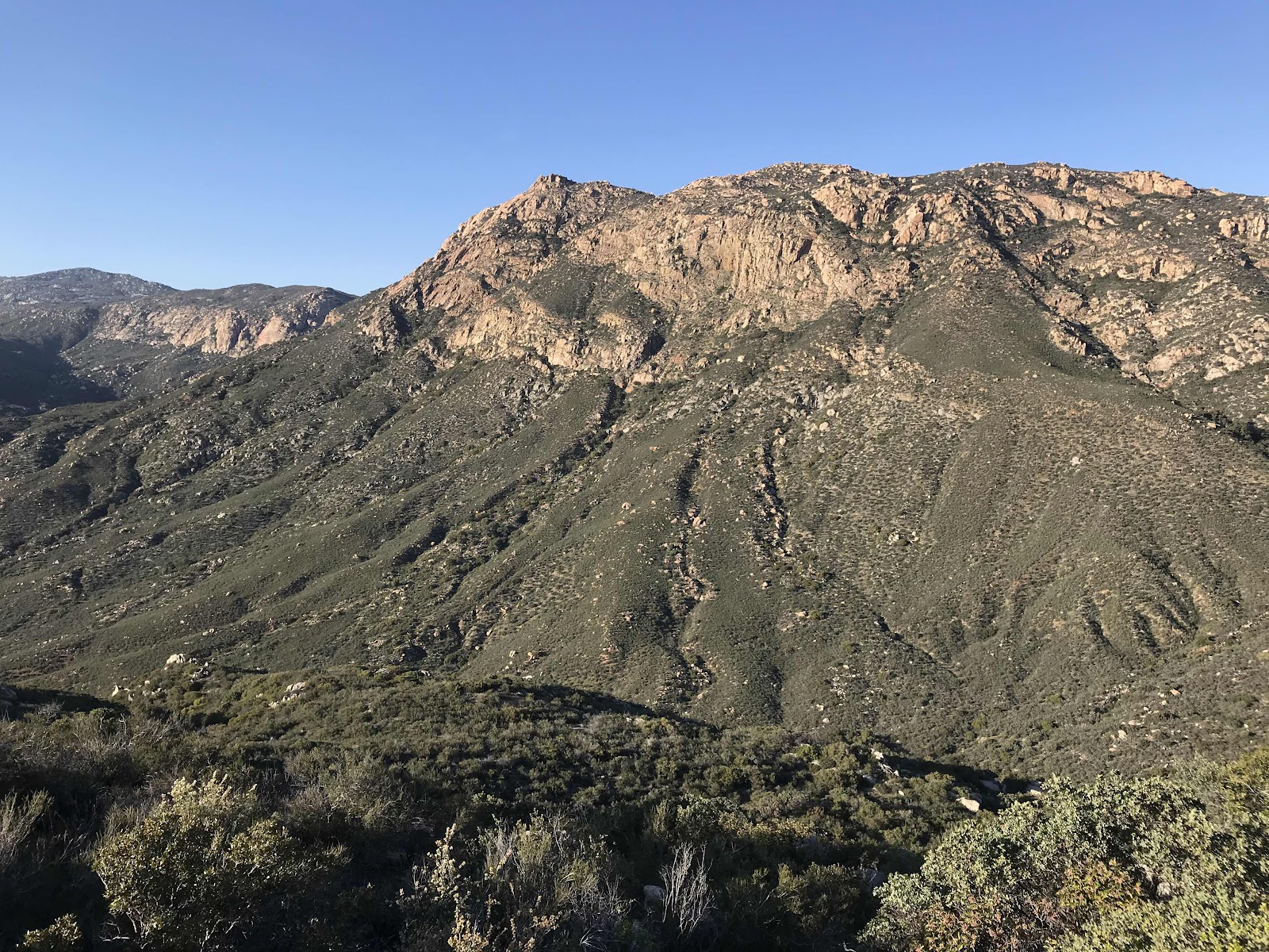
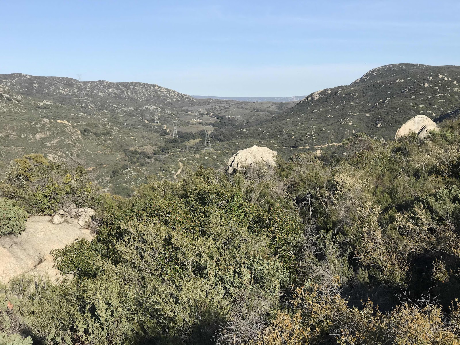
For the first 5 or so miles, the trail parallels the highway 94 (just a 2 lane highway out here) and the rail road tracks, meandering through fields of fragrant purple and white lilac, manzanita trees and bushes and lots of sage scrub. We hiked above farm fields full of big old oak trees and eventually up a drainage and along a ridge and then down to Hauser Creek, a good water source for the area, and the first major campsite on the trail. When I refer to campsites, they are generally just areas where the ground is flat and clear of debris and it is obvious that others have slept there. It is preferred to use these already damaged areas rather than tramp down more vegetation in a new area. We use a GPS based app called Guthook that works in airplane mode. In its map mode, it shows us the line of the trail and icons in front of or behind us for water, campsites, road crossings and other points of interest. This is how we know where to take breaks, camp and get water. It allows us to know down to the tenth of a mile how near or far something is. It’s pretty neat! In the past hikers carried a data book with a list of mileages for road crossings and points of interest and also referred to “the water report” for information about access to water sources.
By the end of the day, we were REALLY tired, making it 15.4 miles. That is further than any of our day hikes all winter. We didn’t really “train” for this, just took lots of day hikes all winter with heavy extravagant picnics. Just before camp we found a nasty pile of abandoned trash that we assume was dumped by another through hiker. I couldn’t bear to leave it there, and even through it was really heavy and water logged, we picked it up.
We camped right by the creek (which was full of poison oak and VERY loud frogs) and next door to Kyle the through hiker who passed us in the afternoon. He is from Seattle area. All day and all night we heard the chop chop chop of border patrol helicopters, and felt sad about the guys who were caught. Jeff thinks the helicopters use some kind of infrared technology to sense heat and find the people who are trying to cross illegally!
Our first day went well, but still doesn’t feel real. We don’t know how long we will be able to hike given the current crisis, but we are grateful to be out here at all. We hiked only a few miles of the PCT during our winter of day hiking, so it will all be new and exciting scenery.


Campo is a really interesting place to start. The railroad tracks you crossed used to go from San Diego to Yuma, Arizona, with many spectacular wooden bridges. In the 1960s one of the bridges collapsed and was stupidly never rebuilt. Now the train line only goes from SD to Campo, where is (or was) a railroad museum and some old, old Spanish adobe buildings for a town that is mostly a ghost town now.
ReplyDeleteThis is your Aunt Jayne. Sounds like you guys are having a great time. It's fun for me to read about some of my old stomping grounds! Stay safe!
ReplyDelete