Day 18: (04/22) : to 211.1 :: 17.5 miles
We got a late an leisurely start, walking a short distance in the morning to the nearest water, Snow Creek. We were a little low on water last night and had to ration it, but didn’t think there would be any camping near the creek, so we decided not to keep going. We wish we had because we found excellent camping well off the trail and next to the creek. Oh well, now we know for next time, if we come back for a do over in the fall or for an Appalachian Trail training hike next spring. There is a network of dirt roads around here, so we should have known this would mean there would be more campsites that what was shown on Guthook. Seeing the dirt roads makes us want something like a Toyota Tacoma. We spend a lot of time thinking about what our next vehicle will be!
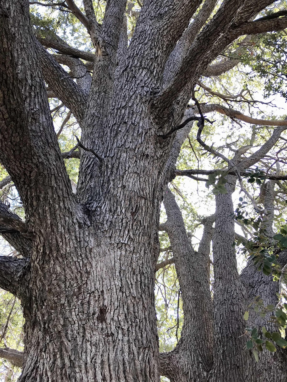
Nice oak trees at the campsite we should have gone to!

Huge coulter pine cones!

Plentiful bush poppies!
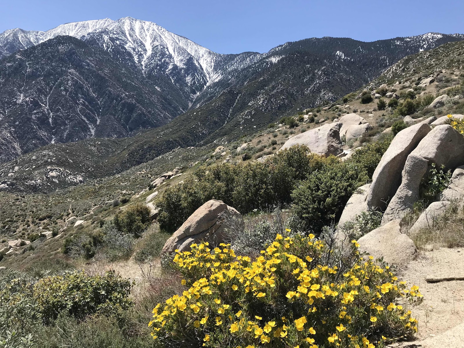
Bush poppies and the view back up to Mt San Jacinto on the left and Fuller Ridge on the right.

View down into the valley, across to Mt San Gorgonio (in the San Bernardino range) and in the distance on the left is Mt Baldy.

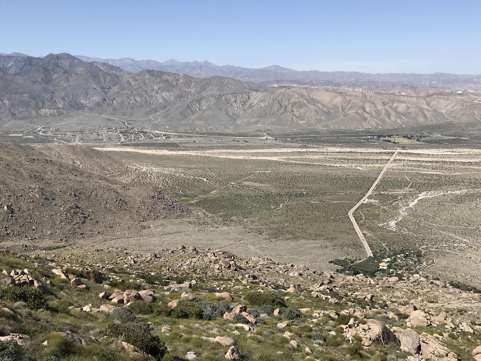
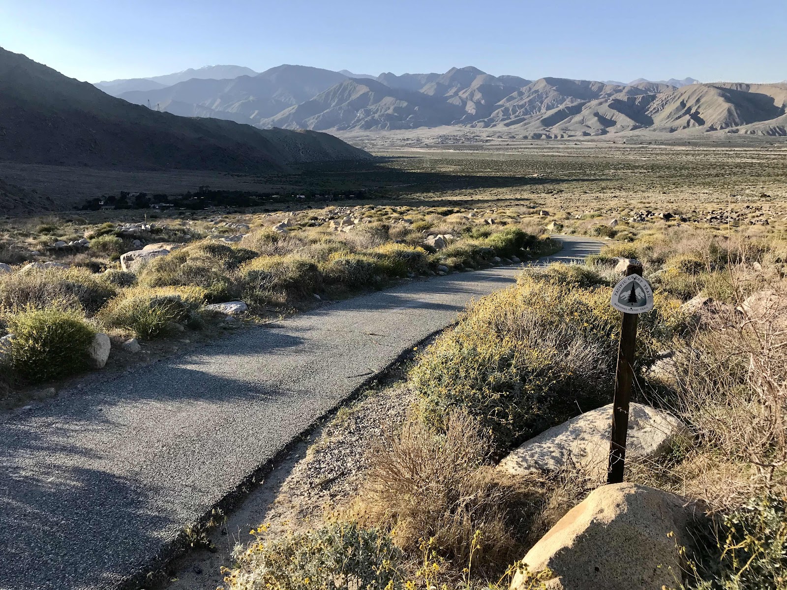
Mile 200 and view of windmill farms.

Shade was hard to come by, we hid under this rock for lunch!

Snow creek draining and the area of the water faucet with windmills in the distance.
View of the walk across the valley, from one neighborhood at the base of Snow Creek, to the freeway and past the next neighborhood.

Purple Yerba Santa flowers and yellow Deer Weed
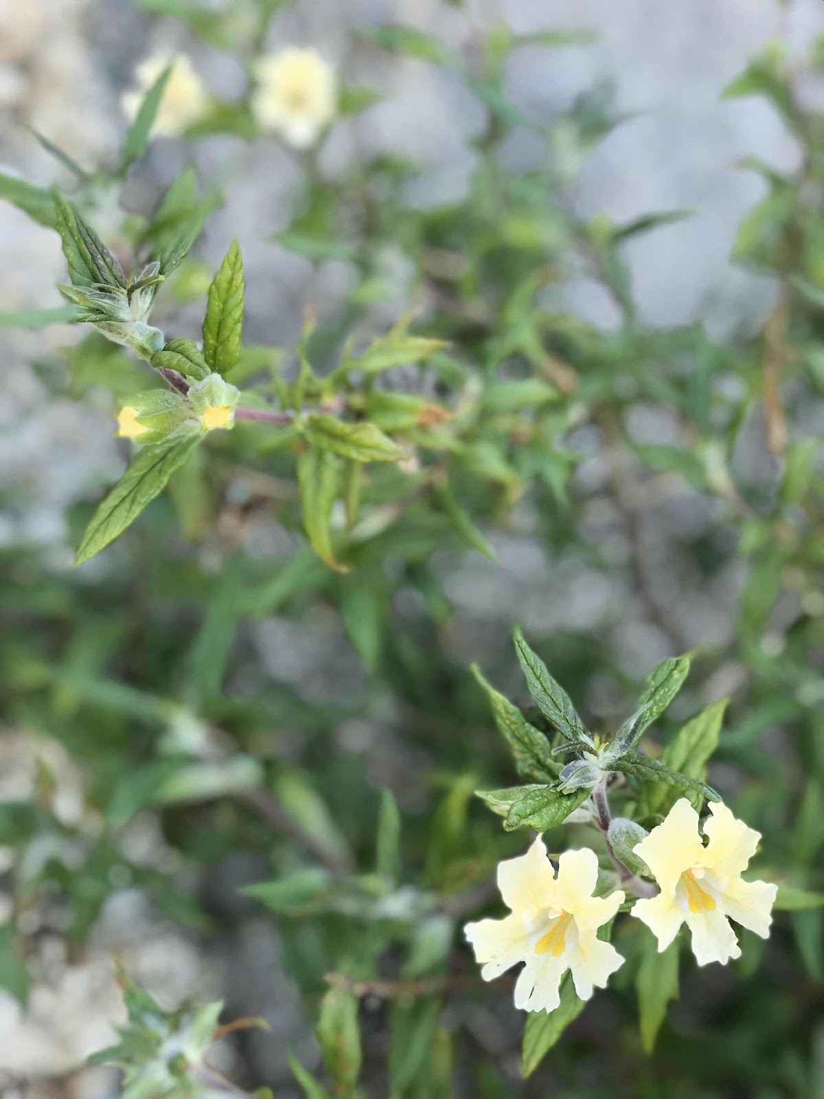
yellow sticky monkey flowers

Rattlesnake

Big rock with a sad face!

A sign near the water faucet

The water faucet and the view up the snow creek drainage
Short road walk down into the valley on the private road belonging to the water company.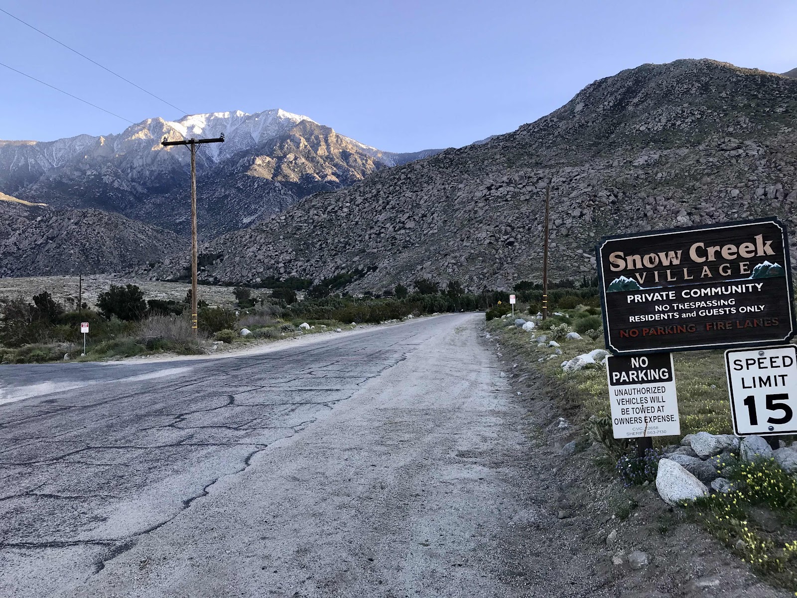
An exclusive community at the base of the climb. What a view they have!
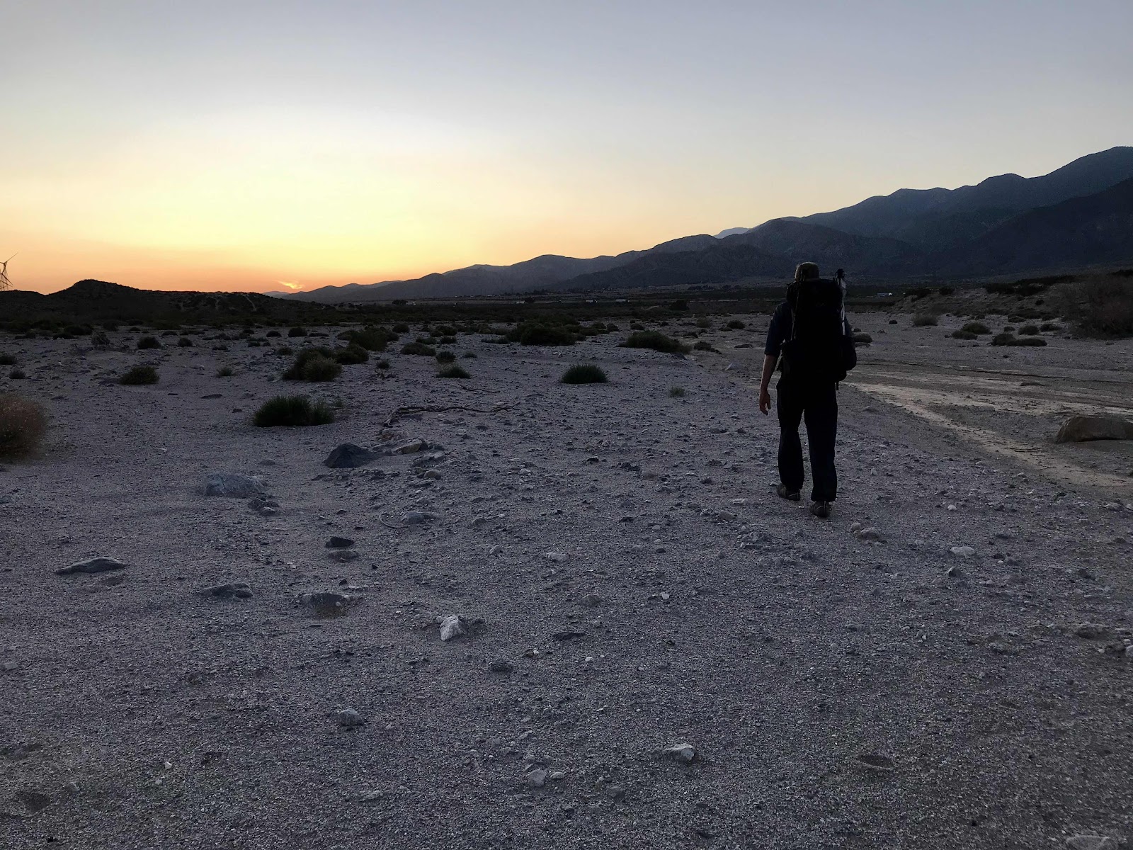
The approach to the freeway in the fading light
We had a nice long breakfast at the campsite and didn’t get to the trail until after 10. All day we walked down, sometimes on long sweeping switchbacks of a mile or two across the slope and then back. We followed the snow creek drainage but didn’t have access to it. We were lucky to have access to few small creeks along the way with all the snow up on the mountain. Usually it’s a long, hot, dry and exposed walk. The big highlight on this descent is reaching the bottom to get to the famed water faucet! I’ve read many accounts of people running out of water on the way to this faucet. The faucet is provided by some water company that has the rights to the Snow Creek drainage. It was hot for us and exposed because we were walking through a forest fire burn zone. We could see into the valley below to lots of windmill farms, but amazingly it wasn’t windy, so we were able to use our umbrellas and remain quite comfortable in our portable shade. We saw our second rattlesnake of the trip and got our first views further to the north of Mt San Antonio AKA Mt Baldy, and the area around Wrightwood. We will be hiking there in a few weeks.
With the easy terrain we made good time getting down into the valley and across it. Highway 10 runs through the valley and the trail goes right under it. We’d heard there might be “trail magic” under the bridge, and sure enough a nice local lady had placed a big bag of naval oranges from a road side produce stand! It was getting dark by the time we reached the underpass, but due to the heat at the bottom of the valley and the lack of beauty around the free way, we decided to hike just a little ways in the dark to give ourselves a head start on the day tomorrow. We took a few oranges and continued on into the darkness, walking past a strange neighborhood next to the freeway. The trail unfortunately crosses at a middle of nowhere location. One exit down on the freeway (1 mile) is a highway rest area. I sure wish we crossed there, flush toilets, running water, shade trees and possibly power outlets would be an oasis for hikers! Some hikers get an Uber to the nearest civilization, which happens to be Burger King, but we kept on walking. Due to corona virus and the fact that you can’t sit inside and eat anywhere anymore, some of the appeal of such endeavors is taken away. We might have considered it if air conditioning and bathrooms and free refills were a thing, but we would have been sitting on the ground outside.
We made it about a mile and a half past the freeway, up into the hills, delighted and amazed that we’d made it 17.5 miles. It was nice to be able to go so far today after several days of slow going. We somehow accomplished this with our late start, we could have possibly made it 20 miles if we’d started at a more normal time.
Nice oak trees at the campsite we should have gone to!
Huge coulter pine cones!
Plentiful bush poppies!
Bush poppies and the view back up to Mt San Jacinto on the left and Fuller Ridge on the right.
View down into the valley, across to Mt San Gorgonio (in the San Bernardino range) and in the distance on the left is Mt Baldy.
Mile 200 and view of windmill farms.
Shade was hard to come by, we hid under this rock for lunch!
Snow creek draining and the area of the water faucet with windmills in the distance.
View of the walk across the valley, from one neighborhood at the base of Snow Creek, to the freeway and past the next neighborhood.
Purple Yerba Santa flowers and yellow Deer Weed
yellow sticky monkey flowers
Rattlesnake
Big rock with a sad face!
A sign near the water faucet
The water faucet and the view up the snow creek drainage
Short road walk down into the valley on the private road belonging to the water company.
An exclusive community at the base of the climb. What a view they have!
The approach to the freeway in the fading light


Comments
Post a Comment