Day 30: (05/18): to 369.9 :: 6.5 miles
We stay in our air bnb until check out time, even though we intended to leave earlier. It’s pretty hard to get an early start when you’re not already on the trail. We look out windows and the sky is still clear, but clouds increase as the time passes. Last night the weather man told us there’d be a little storm, but that it had no power and would blow out by the afternoon. We consider staying again, but decide that’s just us being lazy, and force ourselves to go!
We walk back up the hill through the neighborhood and as we go along it begins to rain. We take out our umbrellas, but the wind begins to blow and the umbrellas aren’t enough. A local man who is about to pull out of his driveway lets us take refuge in his garage for a moment while we don our rain gear. We consider again turning back, but it’s not that bad and the weather man says it will blow out!
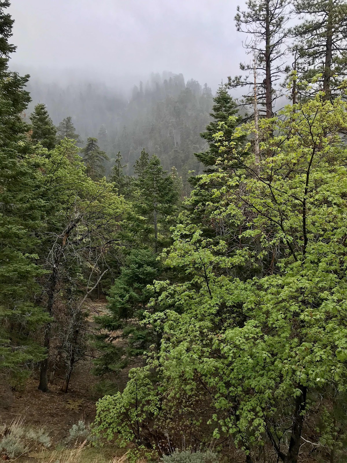
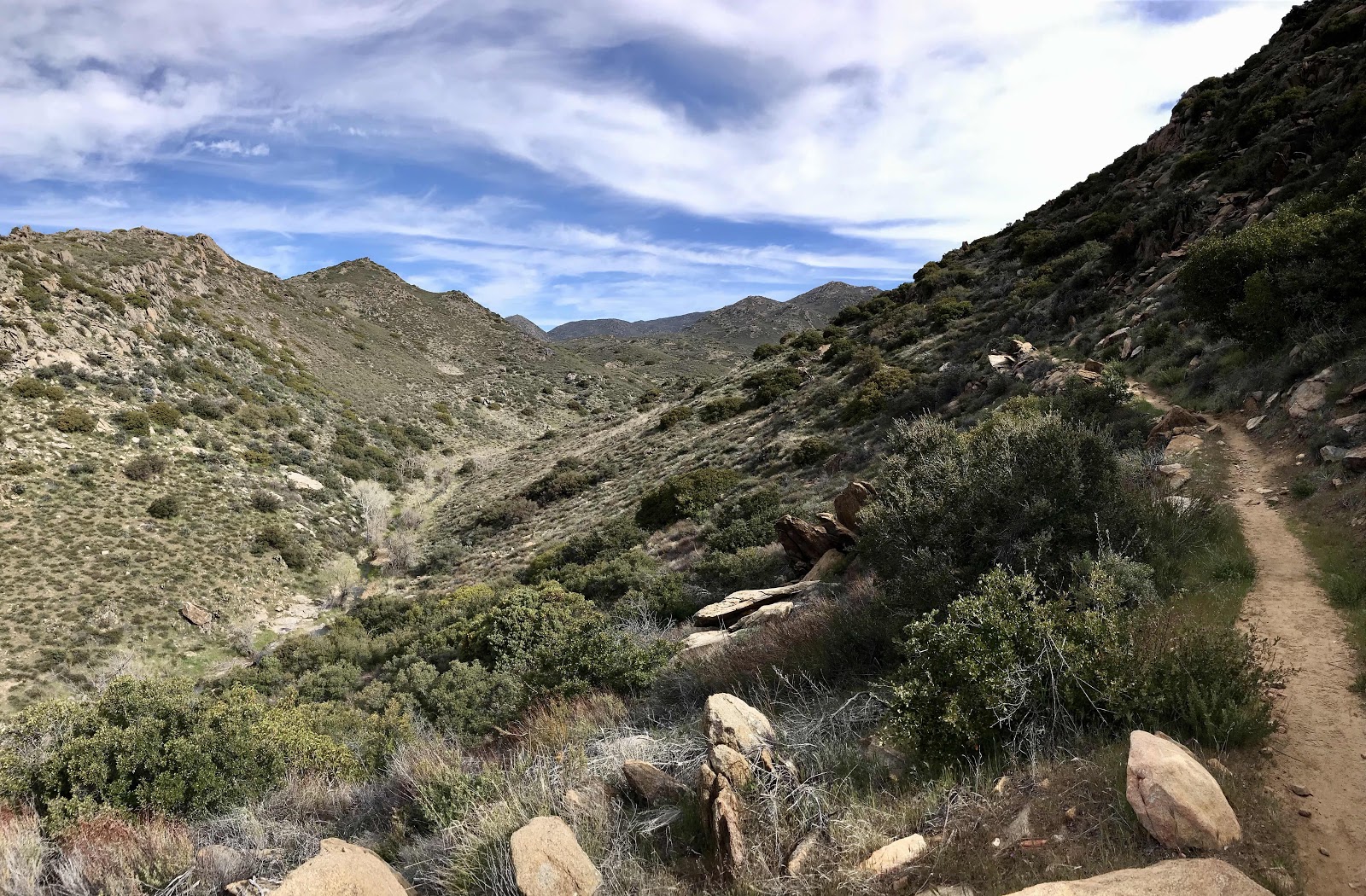
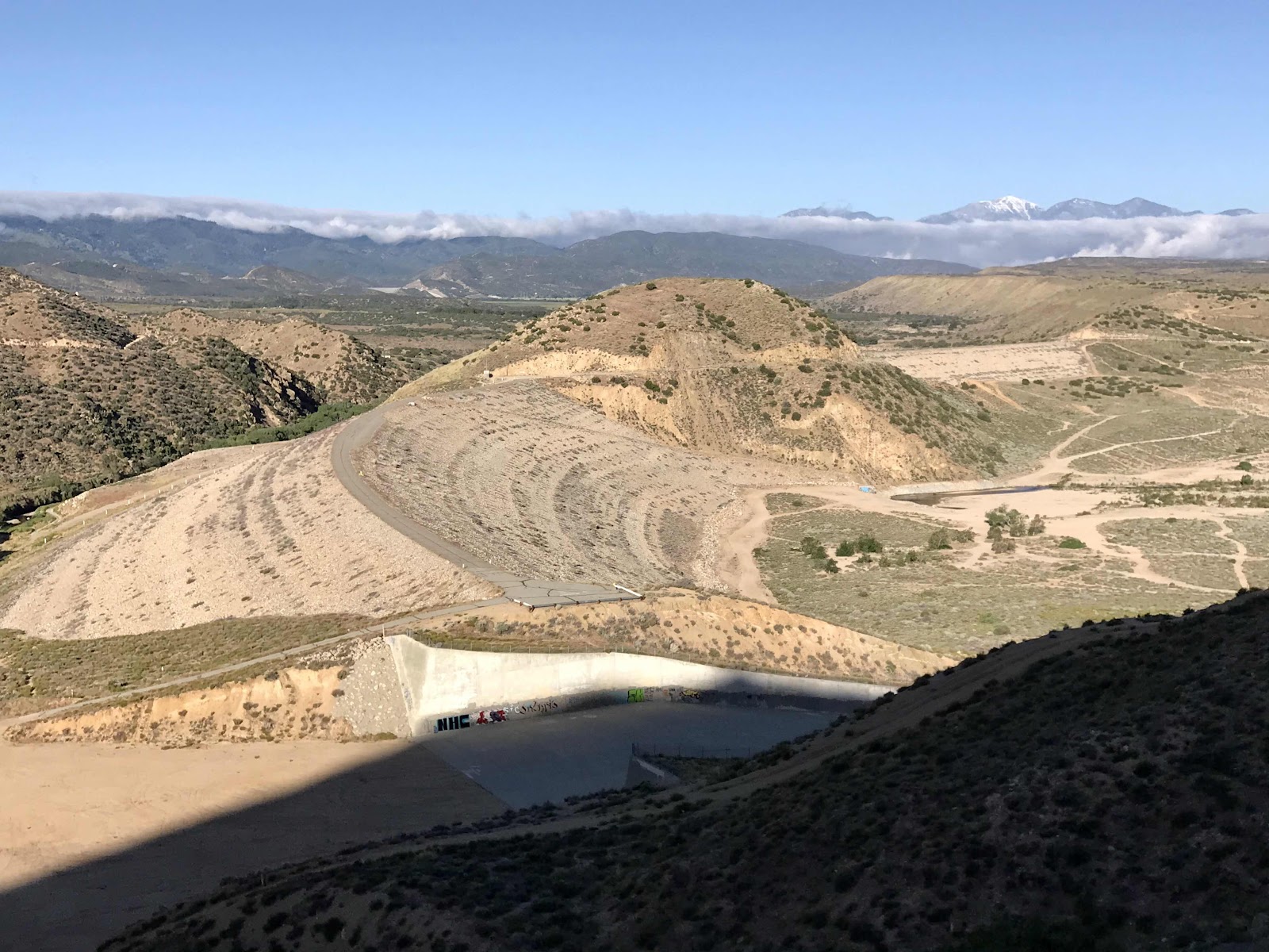
We climb the switchbacks back up to the ridge and enter a cloud bank. It’s howling wind and rain is blowing all over. We spend the next several hours running down the trail pointing our umbrellas into the wind. It’s cold and miserable and we should have stayed in town! We make it down the ridge through the ski area to the highway at Inspiration Point. We should have hiked here on Saturday when it was nice out and we had time to kill! My Mom could have picked us up down the highway. We were out of food though and excited to get to town and we didn’t know a storm would be coming. Hindsight is always 20/20!
We cross the highway and see the couple we saw a few weeks ago coming out of Big Bear. They have taken up refuge in the entry way of the pit toilets at the view point! The highway is closed and so is the toilet, but they use the entry way for shelter. It’s still rainy and foggy and howling wind. We camp a little further on in a patch of woods in a ditch below the highway. The highway is our shelter from the wind. Amazingly we are still dry and warm when finally get into our tent. Our rain gear and umbrellas worked! It’s a shame that we couldn’t see any scenery today because it would have been really nice going through the ski area. This will be another place to come back to for a do over!

Muesli and green tea lattes plus more orange juice for breakfast

Our air bnb, the little apartment over the garage

A cool house built into the hillside in the neighborhood near the Acorn Trailhead

Cool old lodge, Acorn Lodge

Stormy near the trailhead
Going into the fog

Finding little joys in the day

Running across stormy exposed ridges

Ski lift at Mountain High

Out of Wrightwood, it looks like there are a few variations of the trail that you could take. Is there only one official PCT trail, or can you choose? The old Acorn Lodge must be right along old Big Pines Hwy.
ReplyDelete