Saturday, May 20th 2020
The views are clear and dazzling all day. We hike the further half mile in the morning (that I couldn't make last night) to Little Jimmy Spring to get much needed water. We had to ration what little we had last night. At the spring water flows out of the mountain side in a forest of cedars. Just a bit further on is an established back country campground, that when the roads are open, could be reached by 4WD vehicle. We stop to enjoy the picnic benches and make breakfast and superfood matcha lattes. Shortly after we cross highway 2 at Islip Saddle. The highway is open to this point, just not beyond, so you can't drive through to Wrightwood. Once again we find the trash cans over flowing and the pit toilets a nasty mess. Who are the people that treat our shared public spaces this way??
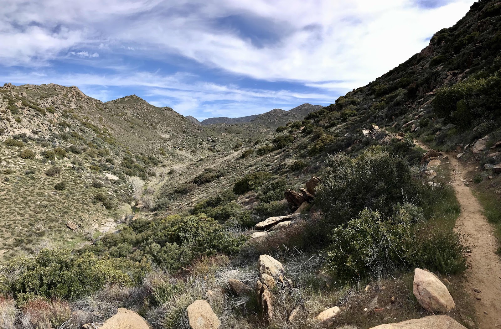
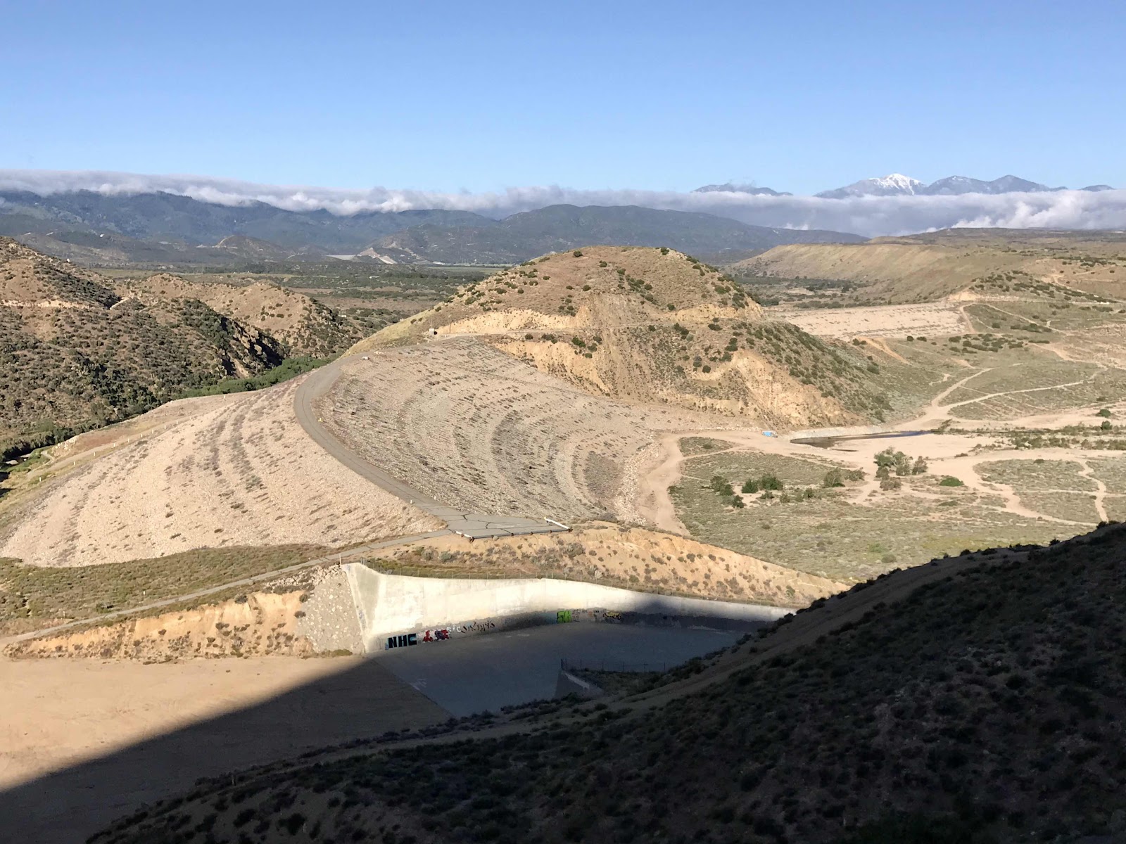
The climb back up and away from the highway is hot and tiring. We enter back into a forest of beautiful ancient trees and are surrounded by impressive rock formations. It feels like we are in Yosemite. We attain the ridge and enter into the Pleasant View Wilderness. A side trail leads further up, onto the summit of Mt Williamson, and it's tempting to take it, especially since we missed out of the views yesterday. The side trails call to me more than they do Jeff. I argue to stash our backpacks and continue up the ridge, it's only about another mile! He says we don't have time. In the end he wins. I settle for taking a rest break at the junction and enjoying the views toward LA, highway 2 and of the remnants of old highway 39, which has been closed since 1978. We are a little behind schedule due to the slow going of the last couple days, so we really don't have enough food or time for side adventures. We are thoroughly impressed with the Angeles Crest and want to come back.
We climb up and back down and up and back down, crossing highway 2 another two times. We cross the highway for a final time at the Eagles Roost Picnic area and descend away from the highway and into a valley, following Little Rock Creek. Our Guthook guide says that this area is closed and we should be taking a detour by walking on the road, with all the speeding motorcycles and car clubs racing down the highway. We really didn't want to walk the road so we made the decision to see what the closure looked like first. There were no obvious signs or fences, so we continued on the trail. It is supposed to be closed to protect the habitat of an endangered yellow frog and as a result hasn't been maintained for about 10 years. In order to be respectful and not cause any disturbances to the land, we stayed on the trail, didn't stop and moved quickly. The closed area covers less than 3 miles, so it wasn't hard to get through quick. We found the trail to be easy to follow and in good condition inspite of no maintenance. It was some of the most beautiful nature we have seen so far and we are glad we didn't miss it. The creek was full of impressive old growth forest of oaks, cedars and some of the largest alders we have ever seen. We felt like criminals though and breathed a sign of relief once we'd made it through.
We make it to camp at an established backcountry site called Cooper Canyon Camp. It's along the same creek and in the same valley we followed through the closure. It has picnic tables and a pit toilet, but it is locked. There is a 4WD leading to the camp, but it is closed. We again camp near the couple with the dog. We played leap frog with them all day and they were at the Eagle's Roost Picnic Area when we departed into the endangered species area. Surely they saw us and now think poorly of us. They took the highway detour, but we would have too if we'd had a dog!
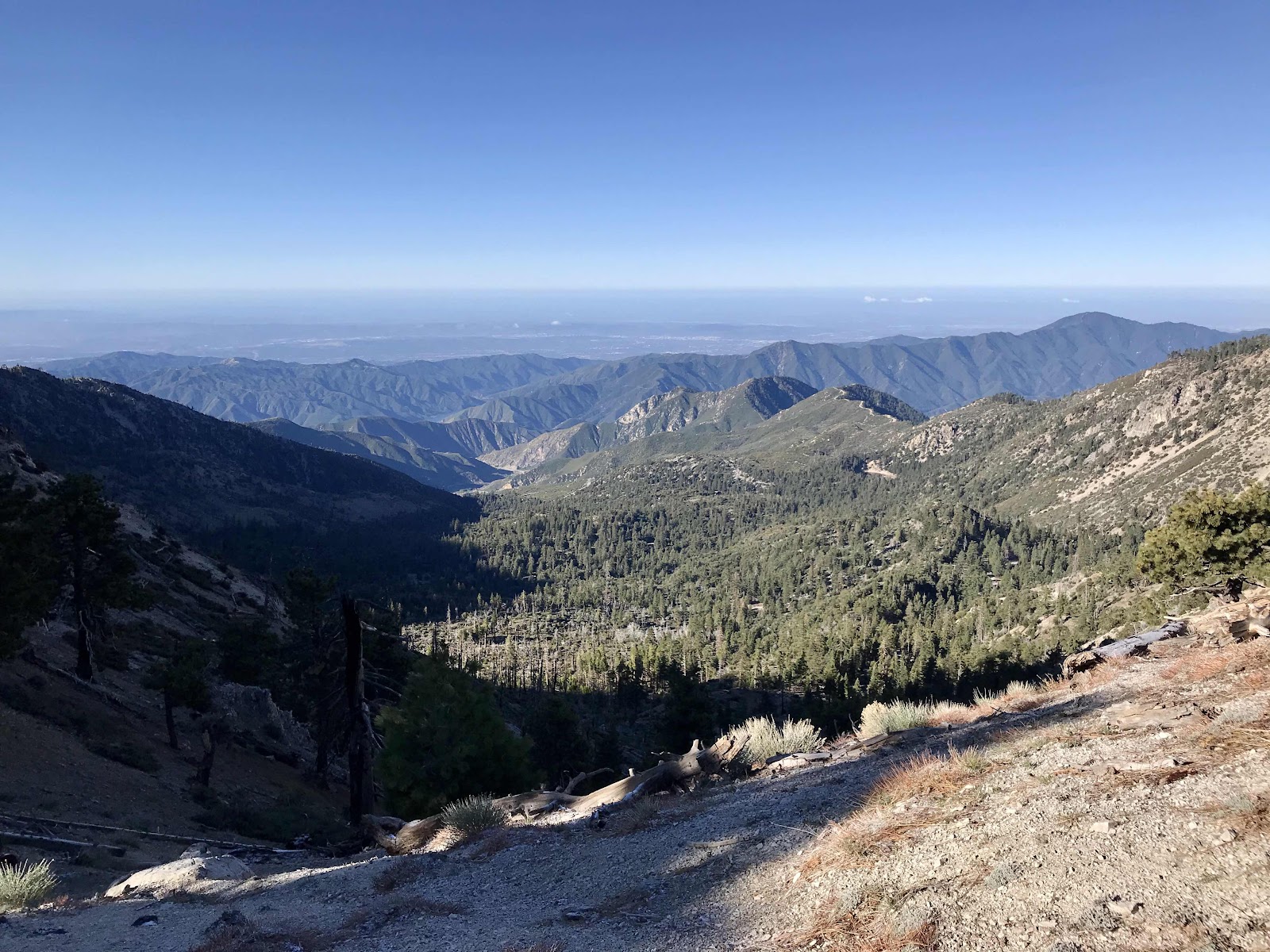 |
| Clear morning view to the West |
 |
| Superfood Matcha Lattes |
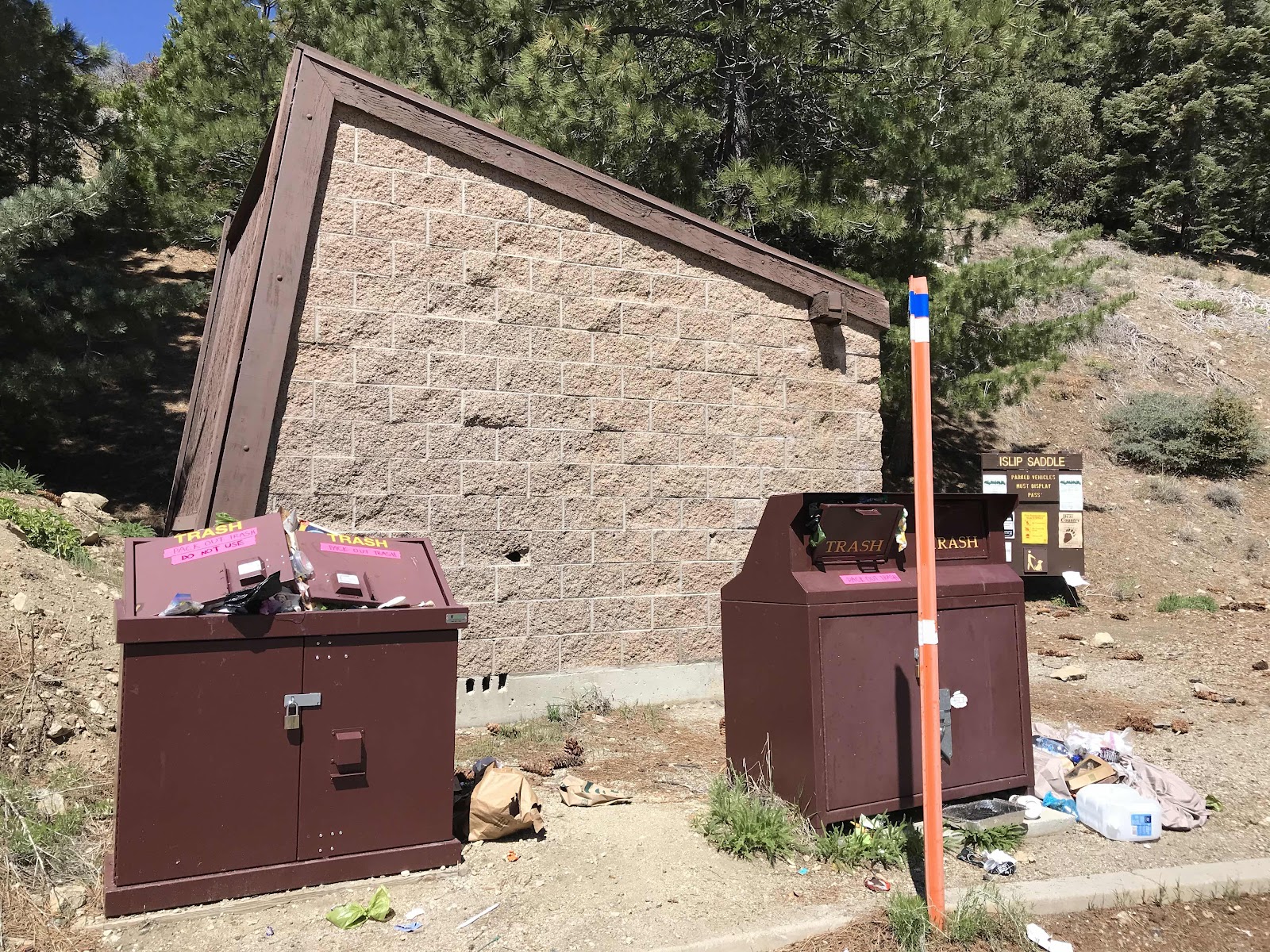 |
| The disgusting state of the facilities at Islip Saddle |
 |
| Pleasant View Wilderness |
 |
| Cool old growth trees near Mt Williamson |
 |
| Old highway 39 |
 |
| Old Oak trees along Little Rock Creek |
 |
| In the Little Rock Creek Valley with rock formations above |
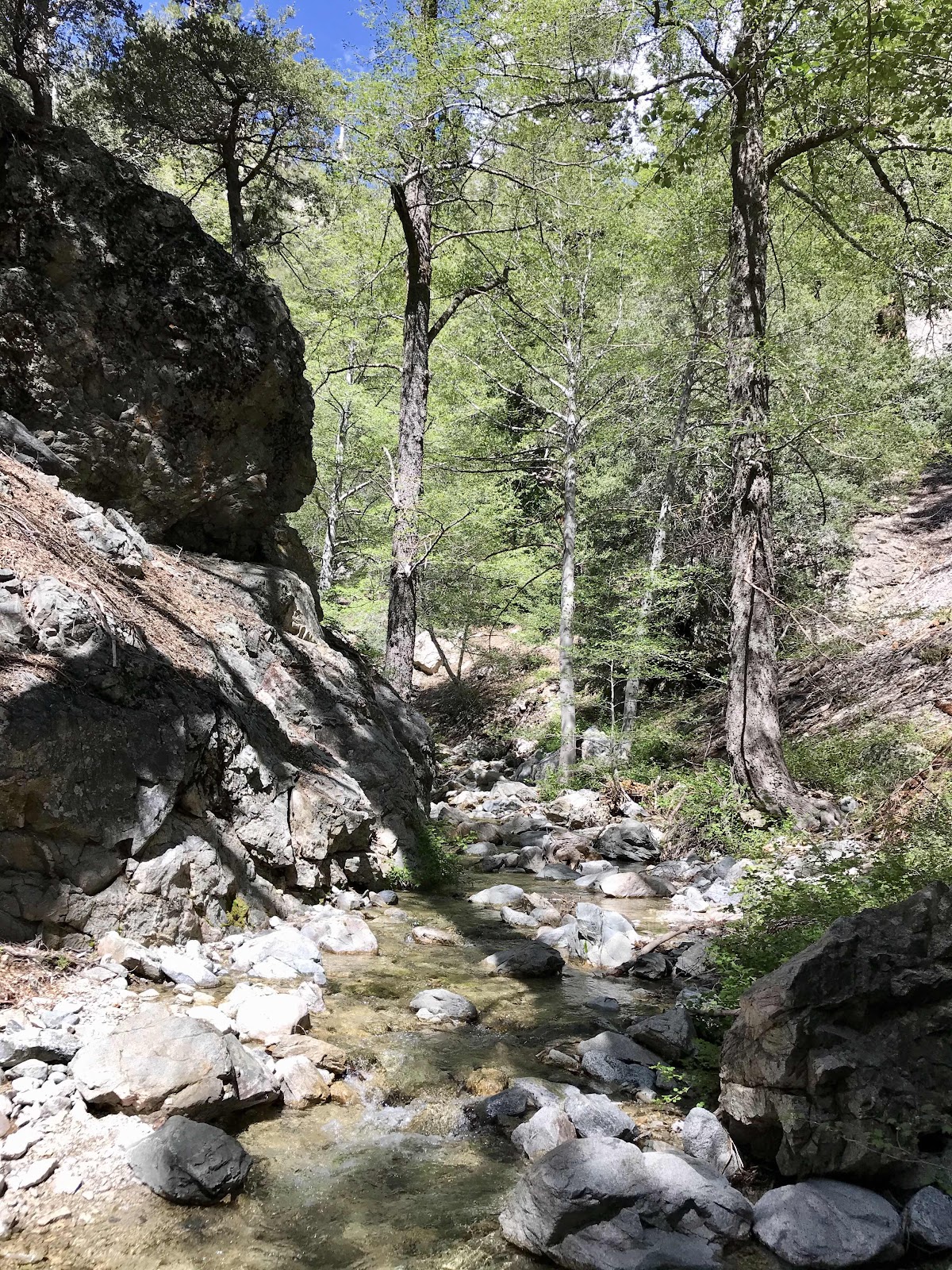 |
| Little Rock Creek |
 |
| Impressive alders |
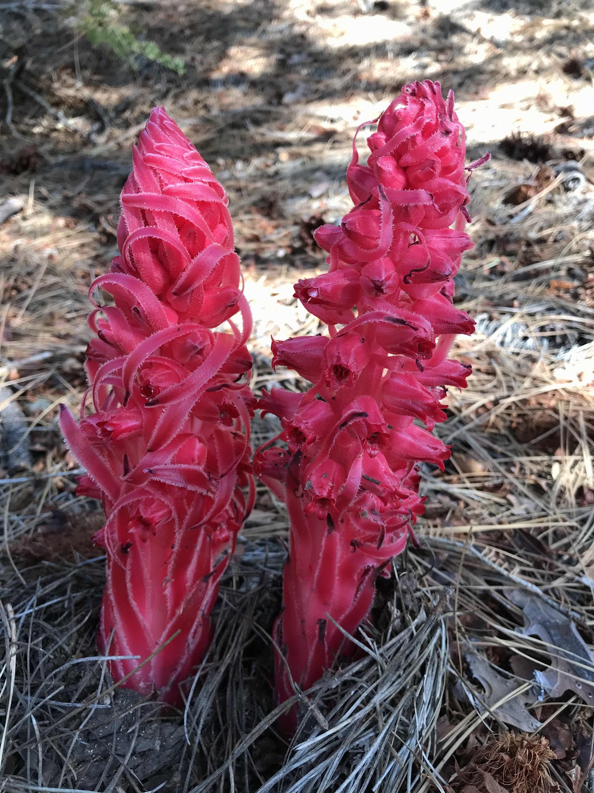 |
| Mushrooom like snow plants |
 |
| A saguaro shaped cedar |
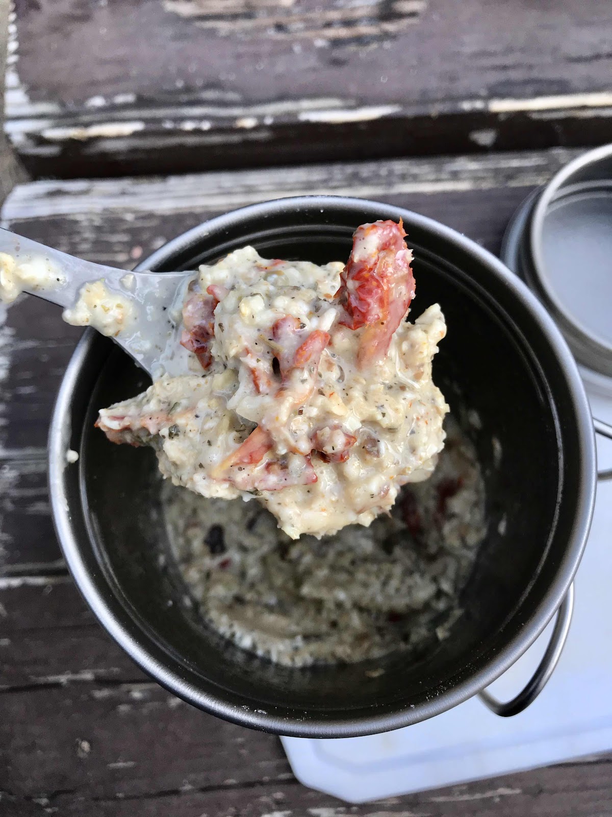 |
| Savory oats for dinner with sun dried tomatoes, dried mushrooms, italian herbs and hemp seeds. |

Comments
Post a Comment