Posts

Day 34: (05/22): to 430.4 :: 18.7

Image
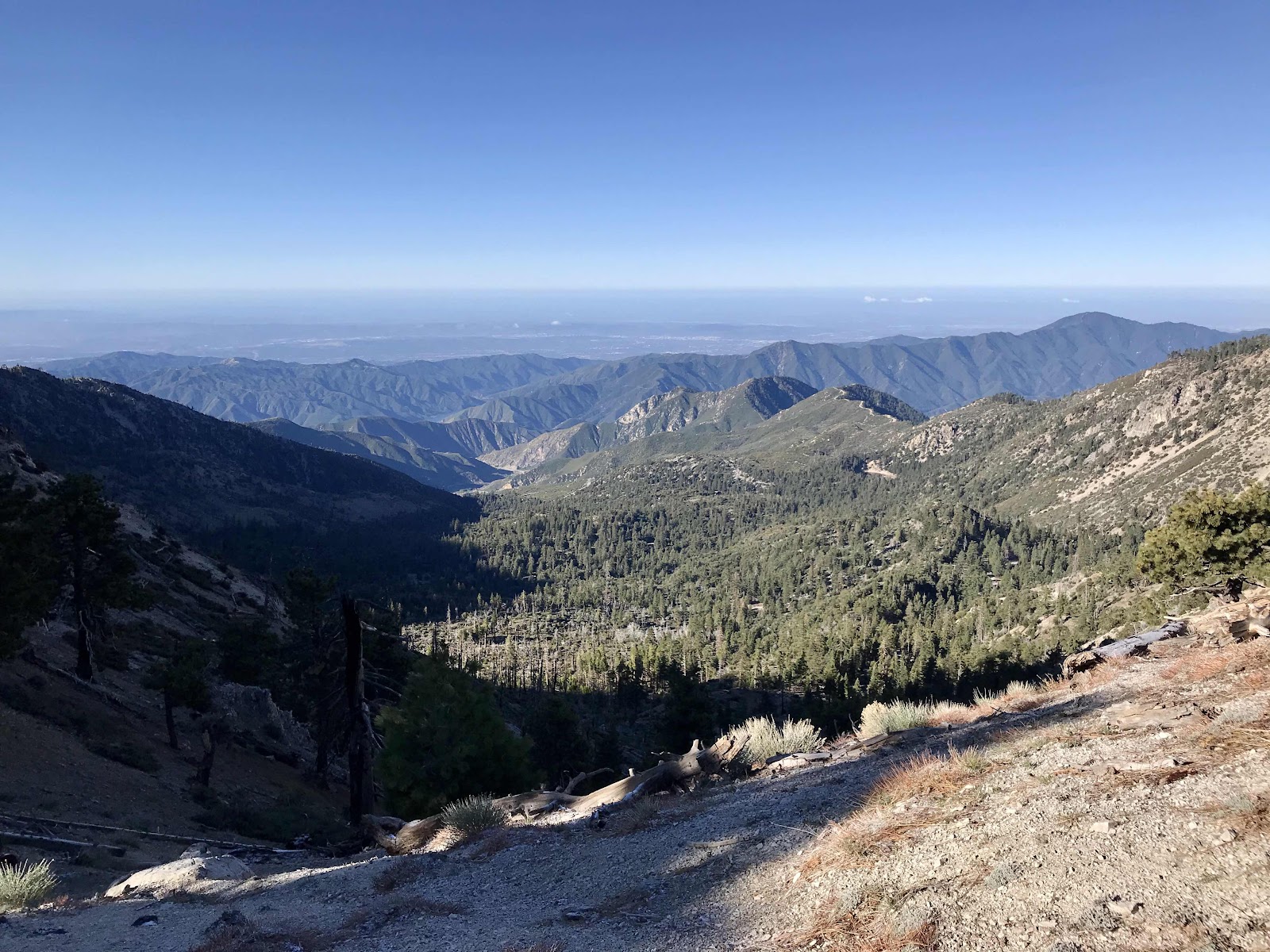
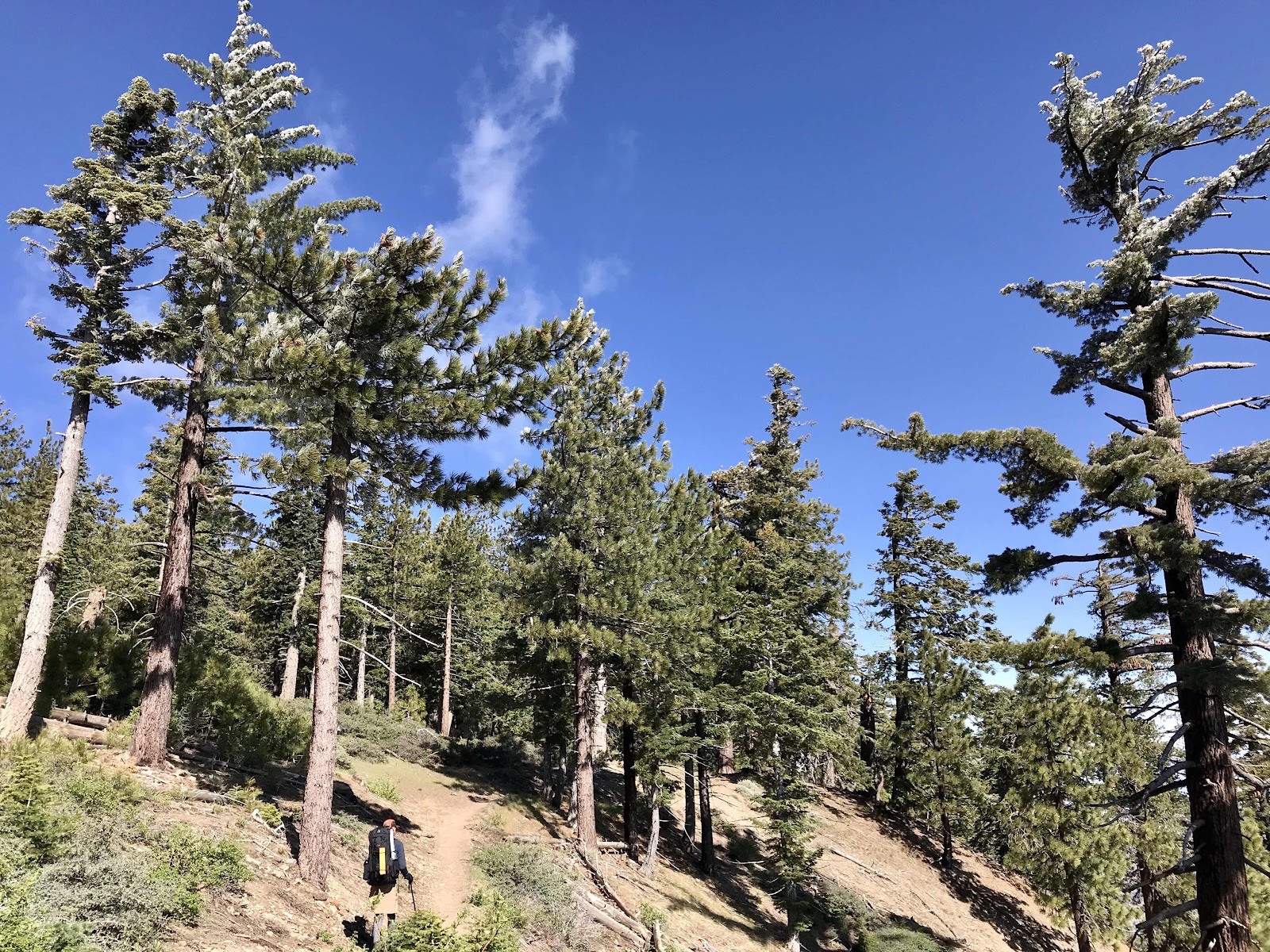
Friday 5/22 Our exposed campsite on the ridge makes for nice sunrise views and also allows direct sunlight into our camp earlier than normal. This causes us to wake up earlier and get going faster too, since we aren’t freezing. We are already walking by 6:15. We beat Super Hiker out of camp, but she quickly overtakes us and then we never see her again. Both times we saw her, she looked as if she was running down the trail. Some people hike so fast we wonder how they even enjoy it. Do they take the time to look around? We traverse around Pacifico mountain away from the Angeles Crest view and start angling toward a view of the valleys to the North like Agua Dulce and Acton, our next layover points. We stop for breakfast before we begin the descent and enjoy the views of layer upon layer of mountains to the North. It's crystal clear and we are probably looking several weeks into our future terrain! After breakfast, we begin down a slow steady grade off of Pacifico Mountain to the cros

Day 33: (05/21): to 411.7 :: 16.5 miles

Image
Thursday, May 21st 2020 We climb out of the valley in the morning and are near highway 2 most of the rest of day. We pass a summer camp called Camp Glenwood, which normally welcomes PCT hikers to hang out, use the bathroom and picnic tables and sometimes even have a snack, but now during COVID, it's deserted. We also see some sort of summer resort cabin s, some homes and lots of sightseeing vehicle traffic on the highway. We cross the highway four times, stopping for lunch at one of the roadside rest areas. Late in the day we diverge from the highway at the Three Points Junction where highway 2 meets the Santa Clara Divide Road. There is a pit toilet and a trash can at this crossing, but we don't need either, so we move on. It's strange being near civilization all day and near people that will hop into cars and drive to the land of plenty, while at the same time being in the middle of nowhere as far as food and water are concerned for us. By the time we stop for the night w

Day 32: (05/20): to 395.2 :: 12.1 miles

Image
Saturday, May 20th 2020 The views are clear and dazzling all day. We hike the further half mile in the morning (that I couldn't make last night) to Little Jimmy Spring to get much needed water. We had to ration what little we had last night. At the spring water flows out of the mountain side in a forest of cedars. Just a bit further on is an established back country campground, that when the roads are open, could be reached by 4WD vehicle. We stop to enjoy the picnic benches and make breakfast and superfood matcha lattes. Shortly after we cross highway 2 at Islip Saddle. The highway is open to this point, just not beyond, so you can't drive through to Wrightwood. Once again we find the trash cans over flowing and the pit toilets a nasty mess. Who are the people that treat our shared public spaces this way?? The climb back up and away from the highway is hot and tiring. We enter back into a forest of beautiful ancient trees and are surrounded by impressive rock formations. It fe

Day 31: (05/19): to 383.1 :: 13.2 miles

Image
The day starts off clear and looks promising, but the clouds increase as the day goes on and stubbornly hang around the area in which we are hiking. The view to the East is clear most of the day, but there is a wall of clouds blocking the view to the west. Again we wish we’d stayed in town one more night so that we would have an additional day to let the clouds clear before climbing Mt Baden Powell. But we didn’t stay an extra night, and we have nothing better to do than walk, so we keep moving forward. We climb 38 switchbacks up the face of the mountain. Near the top, there is still snow, making it impossible to find the last 10 or so switch backs, so we go straight up. My backpack is heavy with food bank oranges and going straight up would be tiring even without a backpack! At the top it is chilly and breezy. We don’t get the dazzling views we had hoped for, just a further look into the cloud bank! All afternoon we walk along the ridge leading away from the summit. Clouds on one sid